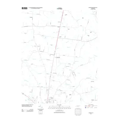
2013 Map of Deason
USGS Topo · Published 2013About this map
Deason and the surrounding agricultural landscape of Bedford County are defined by a complex network of springs and creek branches feeding into the Duck River watershed. The terrain transitions from the elevations of Horse Mountain and Pannell Ridge in the southeast toward the flatter corridors that support Bomar Field-Shelbyville Municipal Airport. Named springs, such as Sulphur Spring, Hictons Big Spring, and Carrick Spring, suggest a historically high water table that likely influenced early settlement patterns and the placement of farms.
Find a feature on this map
110 named features on this map. Tap any name to fly to it.
Don’t see what you’re looking for? This feature index may not catch every label — zoom into the map to look around manually.
Map Details
Editions of this 2013 Deason Map
This is the sole edition of this map. No revisions or reprints were ever made.
Other maps of this area

1936 · Webbs Jungle
USGS Topo · 1:24,000

1936 · Shelbyville
USGS Topo · 1:24,000

1936 · Rover
USGS Topo · 1:24,000

1936 · Deason
USGS Topo · 1:24,000

1936 · Wartrace
USGS Topo · 1:24,000

1936 · Unionville
USGS Topo · 1:24,000

1936 · Bedford
USGS Topo · 1:24,000

1936 · Normandy
USGS Topo · 1:24,000

1936 · Fosterville
USGS Topo · 1:24,000

1944 · Shelbyville
USGS Topo · 1:100,000