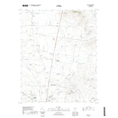
2019 Map of Deason
USGS Topo · Published 2019About this map
The Tennessee Valley Divide cuts through the northern reaches of this Bedford County landscape, where the headwaters of Hutton Cr and Fall Cr originate amidst a network of rural ridges and hollows. The settlement of Shelbyville occupies the central southern portion, flanked by residential developments like Fairlane Estates and the industrial infrastructure of the Bomar Field- Shelbyville Municipal Airport. This area is particularly dense with family and community burial sites, including the Erwin Slave Cem, Houston Whitworth Cem, and Rainwater Cem, reflecting generations of local land ownership.
Find a feature on this map
133 named features on this map. Tap any name to fly to it.
Don’t see what you’re looking for? This feature index may not catch every label — zoom into the map to look around manually.
Map Details
Editions of this 2019 Deason Map
This is the sole edition of this map. No revisions or reprints were ever made.
Other maps of this area

1936 · Webbs Jungle
USGS Topo · 1:24,000

1936 · Shelbyville
USGS Topo · 1:24,000

1936 · Rover
USGS Topo · 1:24,000

1936 · Deason
USGS Topo · 1:24,000

1936 · Wartrace
USGS Topo · 1:24,000

1936 · Unionville
USGS Topo · 1:24,000

1936 · Bedford
USGS Topo · 1:24,000

1936 · Normandy
USGS Topo · 1:24,000

1936 · Fosterville
USGS Topo · 1:24,000

1944 · Shelbyville
USGS Topo · 1:100,000