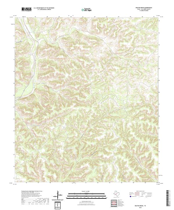
2022 Map of Deaton Draw
USGS Topo · Published 2022About this map
The Devils River corridor defines the northwestern corner of this West Texas landscape, where 163 tracks through a complex network of arid drainage systems. The terrain is characterized by deeply incised draws and canyons that dictate the movement of water and travel through the Edwards Plateau. Significant topographic features include the converging paths of Phillips Draw and Deaton Draw in the north, which give way to a rugged interior marked by Young Canyon and Trail Canyon. Further south, the landscape is etched by Phillips Canyon and Cedar Mott Draw, illustrating the stark hydrology of Val Verde County. This survey provides a precise look at the natural relief and established route markers, such as Live Oak Draw and Deep Hollow, in an area defined by its significant vertical drop toward the river basin.
Find a feature on this map
11 named features on this map. Tap any name to fly to it.
Don’t see what you’re looking for? This feature index may not catch every label — zoom into the map to look around manually.
Map Details
Editions of this 2022 Deaton Draw Map
This is the sole edition of this map. No revisions or reprints were ever made.
Other maps of this area

1944 · Dry Devil
USGS Topo · 1:62,500

1944 · Baker Crossing
USGS Topo · 1:62,500

1954 · Sonora
USGS Topo · 1:250,000

1958 · Sonora
USGS Topo · 1:250,000

1958 · Del Rio
USGS Topo · 1:250,000

1964 · Del Rio
USGS Topo · 1:250,000

1970 · Juno
USGS Topo · 1:24,000

1970 · Sycamore Canyon
USGS Topo · 1:24,000

1970 · Bee Canyon
USGS Topo · 1:24,000

1970 · Deaton Draw
USGS Topo · 1:24,000