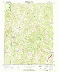
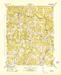
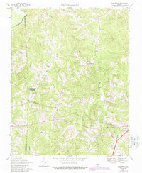
1968 Map of Deatonville
USGS Topo · Published 1971This historical map portrays the area of Deatonville in 1968, primarily covering Amelia County as well as portions of Nottoway County, Cumberland County, and Prince Edward County. Featuring a scale of 1:24000, this map provides a highly detailed snapshot of the terrain, roads, buildings, counties, and historical landmarks in the Deatonville region at the time. Published in 1971, it is one of 2 known editions of this map due to revisions or reprints.
Find a feature on this map
33 named features on this map. Tap any name to fly to it.
Don’t see what you’re looking for? This feature index may not catch every label — zoom into the map to look around manually.
Map Details
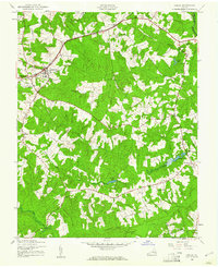
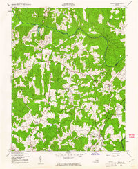
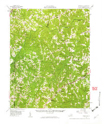
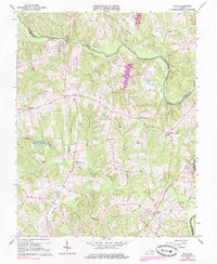
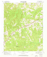
Editions of this 1968 Deatonville Map
2 editions found
Historical Maps of Nottoway County Through Time
10 maps found
1943 Amelia
Amelia County, VA
1943 Chula
Amelia County, VA
1943 Goodes Bridge
Amelia County, VA
1944 Chula
Amelia County, VA
1958 Jetersville
Amelia County, VA

1964 Mannboro
Amelia County, VA
1966 Chula
Amelia County, VA
1968 Ballsville
Amelia County, VA
1968 Deatonville
Amelia County, VA
1968 Jetersville
Amelia County, VA