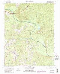
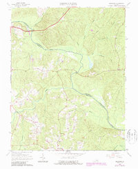
1964 Map of Mannboro
USGS Topo · Published 1987About this map
The Appomattox River winds through the heart of this Virginia landscape, defining the county line between Chesterfield and Amelia Counties. The settlement of Mannboro serves as a focal point in the southern reaches, where local social life is grounded in institutions like Amelia Academy, Oak Grove Church, and Branchs Run Church. This 1964 survey reveals a transition in rural infrastructure, showing a prominent pipeline corridor cutting across the wooded drainages and small-scale industry represented by a gravel pit in the north. The map documents traditional crossings such as Bevils Bridge and Goodes Bridge, which have long facilitated movement across the river's frequent bends. Tributaries like Sappony Creek and Deep Creek create a dense network of branches and runs that shape the region's agricultural layout.
Find a feature on this map
24 named features on this map. Tap any name to fly to it.
Don’t see what you’re looking for? This feature index may not catch every label — zoom into the map to look around manually.
Map Details
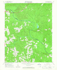
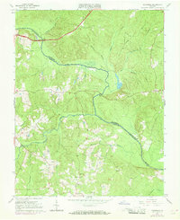
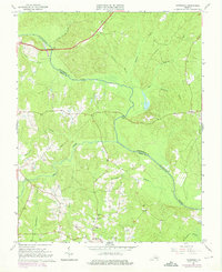
Editions of this 1964 Mannboro Map
5 editions found
Other maps of this area

1897 · Amelia
USGS Topo · 1:125,000

1943 · Amelia
USGS Topo · 1:31,680

1943 · Goodes Bridge
USGS Topo · 1:31,680

1943 · Hallsboro
USGS Topo · 1:31,680

1943 · Clayville
USGS Topo · 1:24,000

1943 · Church Road
USGS Topo · 1:24,000

1943 · Winterpock
USGS Topo · 1:24,000
1943 · Chula
USGS Topo · 1:24,000

1943 · Richmond
USGS Topo · 1:250,000

1944 · Chula
USGS Topo · 1:31,680