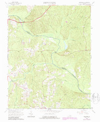
1964 Map of Mannboro
USGS Topo · Published 1987About this map
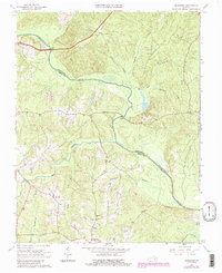
The Appomattox River carves a winding path along the northern boundary of this survey, serving as the natural dividing line between Chesterfield and Amelia counties. This mid-century landscape is defined by its intricate drainage network, where numerous watercourses like Deep Creek, Smacks Creek, and Goode Creek feed into the larger river system. The settlement of Mannboro anchors the southern portion of the quadrangle, which at the time of the original field check in the 1960s, remained a rural community centered around local institutions.
Find a feature on this map
19 named features on this map. Tap any name to fly to it.
Don’t see what you’re looking for? This feature index may not catch every label — zoom into the map to look around manually.
Map Details
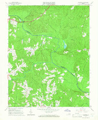
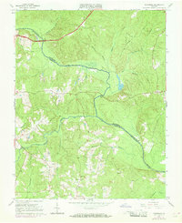
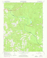
Editions of this 1964 Mannboro Map
5 editions found
Other maps of this area

1897 · Amelia
USGS Topo · 1:125,000

1943 · Amelia
USGS Topo · 1:31,680

1943 · Goodes Bridge
USGS Topo · 1:31,680

1943 · Hallsboro
USGS Topo · 1:31,680

1943 · Clayville
USGS Topo · 1:24,000

1943 · Church Road
USGS Topo · 1:24,000

1943 · Winterpock
USGS Topo · 1:24,000
1943 · Chula
USGS Topo · 1:24,000

1943 · Richmond
USGS Topo · 1:250,000

1944 · Chula
USGS Topo · 1:31,680