
1954 Map of Deckers
USGS Topo · Published 1955About this map
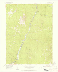
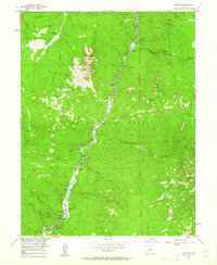
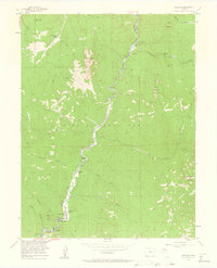
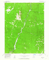
The South Platte River carves a deep path through this section of the Pike National Forest, defining the boundary between Jefferson and Douglas counties. In the mid-1950s, this area served as a focal point for mountain recreation and small riverfront settlements. Tiny hamlets like Trumbull and Deckers anchor the southern reaches of the canyon, while the landscape further north is dotted with isolated holdings such as Long Scraggy Ranch and Twin Cedars.
Find a feature on this map
34 named features on this map. Tap any name to fly to it.
Don’t see what you’re looking for? This feature index may not catch every label — zoom into the map to look around manually.
Map Details
Editions of this 1954 Deckers Map
12 editions found
1955 edition
22 x 27.2 inches
1955 edition
22 x 27.3 inches
1961 edition
22 x 26.9 inches
1963 edition
22 x 27.3 inches
1963 edition
22 x 26.9 inches
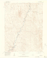
1963 edition
22 x 27.3 inches
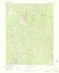
1972 edition
22.1 x 27.3 inches
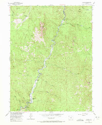
1972 edition
22.1 x 27 inches
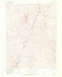
1972 edition
22.1 x 27.3 inches
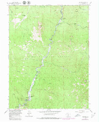
1979 edition
22 x 26.9 inches
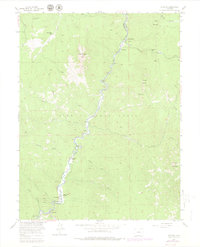
1980 edition
22 x 27.3 inches
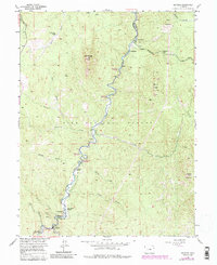
1985 edition
22 x 26.9 inches
Other maps of this area

1893 · Platte Canyon
USGS Topo · 1:125,000

1945 · Platte Canyon
USGS Topo · 1:24,000

1945 · Pine
USGS Topo · 1:24,000

1945 · Kassler
USGS Topo · 1:24,000

1948 · Kassler
USGS Topo · 1:24,000

1948 · Pine
USGS Topo · 1:24,000

1948 · Platte Canyon
USGS Topo · 1:24,000

1953 · Denver
USGS Topo · 1:250,000

1954 · Devils Head
USGS Topo · 1:24,000

1954 · Green Mountain
USGS Topo · 1:24,000