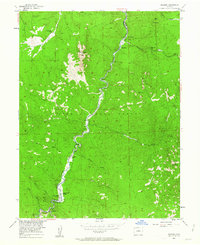
1954 Map of Deckers
USGS Topo · Published 1963About this map
The South Platte River carves a central path through this section of the Pike National Forest, defining the settlement patterns and recreation hubs of the mid-1950s. Small mountain communities and ranch holdings cling to the riverbanks and narrow canyon floors, including the crossroads at Deckers and Trumbull, as well as the riverside locations of Oxyoke and Nighthawk. The presence of an Inactive Mine near the northern boundary suggests earlier extractive efforts, though by this era, the landscape was increasingly oriented toward outdoor activity, evidenced by the Ponderosa Pine Campground, Lone Rock Campground, and the humorously named Top of the World Picnic Ground. Terrain features like the prominent Long Scraggy Peak and granite formations such as Skull Rock tower over the various gulches, including Saloon Gulch and Jenny Gulch, that drain into the main river valley.
Find a feature on this map
30 named features on this map. Tap any name to fly to it.
Don’t see what you’re looking for? This feature index may not catch every label — zoom into the map to look around manually.
Map Details
Editions of this 1954 Deckers Map
12 editions found

1955 edition
22 x 27.2 inches
1955 edition
22 x 27.3 inches
1961 edition
22 x 26.9 inches
1963 edition
22 x 27.3 inches
1963 edition
22 x 26.9 inches
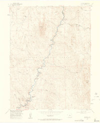
1963 edition
22 x 27.3 inches
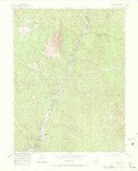
1972 edition
22.1 x 27.3 inches
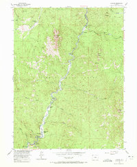
1972 edition
22.1 x 27 inches
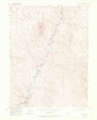
1972 edition
22.1 x 27.3 inches
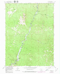
1979 edition
22 x 26.9 inches
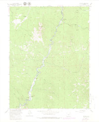
1980 edition
22 x 27.3 inches
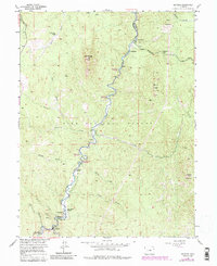
1985 edition
22 x 26.9 inches
Other maps of this area

1893 · Platte Canyon
USGS Topo · 1:125,000

1945 · Platte Canyon
USGS Topo · 1:24,000

1945 · Pine
USGS Topo · 1:24,000

1945 · Kassler
USGS Topo · 1:24,000

1948 · Kassler
USGS Topo · 1:24,000

1948 · Pine
USGS Topo · 1:24,000

1948 · Platte Canyon
USGS Topo · 1:24,000

1953 · Denver
USGS Topo · 1:250,000

1954 · Devils Head
USGS Topo · 1:24,000
1954 · Deckers
USGS Topo · 1:24,000