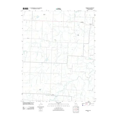
1991 Map of Dederick
USGS Topo · Published 1992About this map
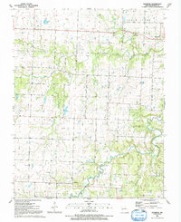
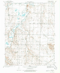
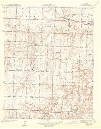
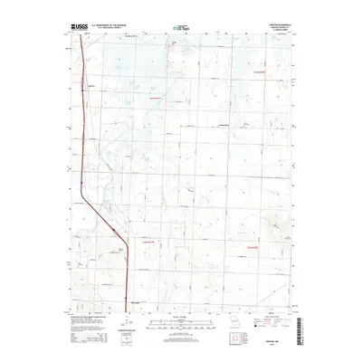
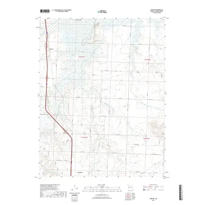
Dederick sits as a central junction point in this rural Vernon County landscape, captured in the late 1980s by the U.S. Geological Survey. The terrain is defined by the winding course of Clear Creek and its many tributaries, including Robinson Branch and the West Fork Clear Creek. This water network historically shaped the settlement patterns of townships like Walker, Badger, and Virgil, which are clearly demarcated on the sheet.
Find a feature on this map
22 named features on this map. Tap any name to fly to it.
Don’t see what you’re looking for? This feature index may not catch every label — zoom into the map to look around manually.
Map Details
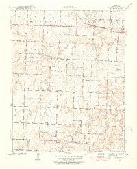
Editions of this 1991 Dederick Map
This is the sole edition of this map. No revisions or reprints were ever made.
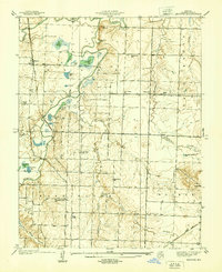
Historical Maps of Dederick Through Time
19 maps found
1938 Horton
Vernon County, MO
1939 Dederick
Vernon County, MO
1939 Horton
Vernon County, MO
1942 Dederick
Vernon County, MO
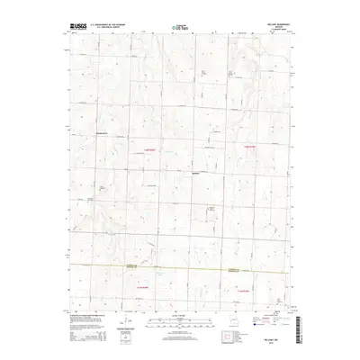
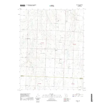
1962 Bellamy
Vernon County, MO
1991 Dederick
Vernon County, MO
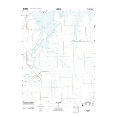
1991 Horton
Vernon County, MO
2011 Bellamy
Vernon County, MO
2011 Dederick
Vernon County, MO
2011 Horton
Vernon County, MO
2015 Bellamy
Vernon County, MO
2015 Dederick
Vernon County, MO
2015 Horton
Vernon County, MO
2017 Bellamy
Vernon County, MO
2017 Dederick
Vernon County, MO
2017 Horton
Vernon County, MO
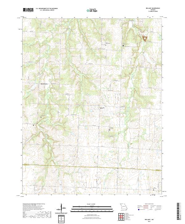
2021 Bellamy
Vernon County, MO
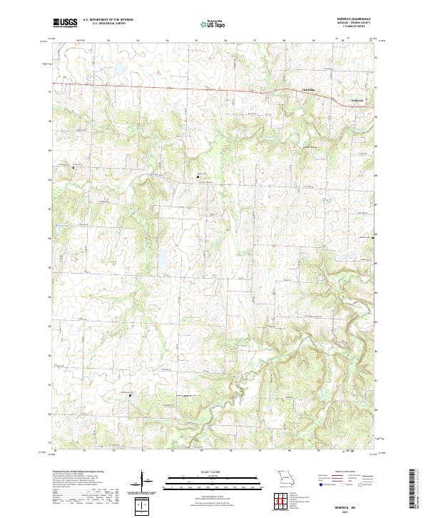
2021 Dederick
Vernon County, MO
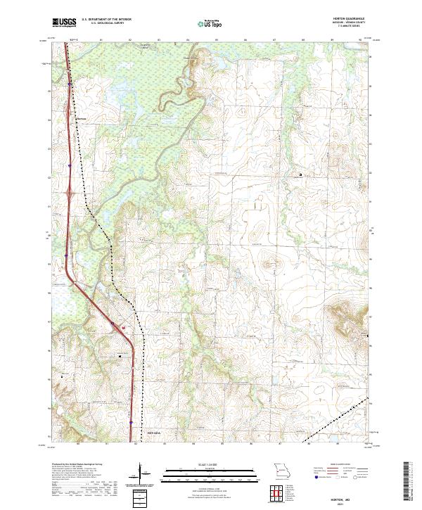
2021 Horton
Vernon County, MO