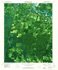
1977 Map of Deep Creek
USGS Topo · Published 1978About this map
The Great Dismal Swamp dominates the western landscape of this 1970s orthophotomap, its dark, forested canopy bisected by the straight line of the Dismal Swamp Canal. This distinctive hybrid survey overlays topographic data onto aerial photography, revealing the precise transition from the marshy wilds of the Green Sea to the agricultural fields and growing suburbs of Chesapeake.
Find a feature on this map
47 named features on this map. Tap any name to fly to it.
Don’t see what you’re looking for? This feature index may not catch every label — zoom into the map to look around manually.
Map Details
Editions of this 1977 Deep Creek Map
2 editions found
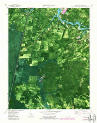
Other maps of this area

1907 · Norfolk
USGS Topo · 1:125,000

1918 · Cape Henry
USGS Topo · 1:62,500

1919 · Cape Henry
USGS Topo · 1:62,500

1921 · Newport News
USGS Topo · 1:62,500

1939 · Moyock
USGS Topo · 1:62,500

1940 · Lake Drummond
USGS Topo · 1:62,500

1944 · Norfolk South
USGS Topo · 1:25,000

1945 · Lake Drummond
USGS Topo · 1:62,500

1946 · Moyock
USGS Topo · 1:62,500

1948 · Norfolk South
USGS Topo · 1:24,000