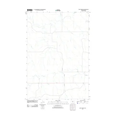
2012 Map of Deep Creek SE
USGS Topo · Published 2012About this map
Deep Creek and its southern tributaries define the drainage patterns of this Meade County landscape, where the prairie is carved by the meandering courses of Flint Creek and Flint Rock Creek. The map reflects a modern rural infrastructure dominated by a strictly gridded section-line road system. Notable thoroughfares such as Deep Creek Road, Ulysses Road, and Unicorn Road provide the primary access through these vast agricultural tracts. The layout of 163rd Street and Viking Road suggests a landscape managed for large-scale ranching or farming, where the natural watercourses remain the most significant landmarks against the engineered symmetry of the South Dakota plains.
Find a feature on this map
8 named features on this map. Tap any name to fly to it.
Don’t see what you’re looking for? This feature index may not catch every label — zoom into the map to look around manually.
Map Details
Editions of this 2012 Deep Creek SE Map
This is the sole edition of this map. No revisions or reprints were ever made.
Other maps of this area

1951 · Deep Creek NW
USGS Topo · 1:24,000

1952 · Deep Creek SE
USGS Topo · 1:24,000

1952 · Signal Butte
USGS Topo · 1:24,000

1952 · Deep Creek NE
USGS Topo · 1:24,000

1952 · Faith NW
USGS Topo · 1:24,000

1953 · Rapid City
USGS Topo · 1:250,000

1954 · Lemmon
USGS Topo · 1:250,000

1957 · Lemmon
USGS Topo · 1:250,000

1957 · Rapid City
USGS Topo · 1:250,000

1983 · Lemmon Butte
USGS Topo · 1:24,000