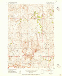
1952 Map of Signal Butte
USGS Topo · Published 1954About this map
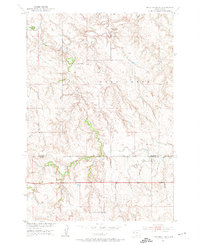
Signal Butte rises above the open range of South Dakota’s northwestern plains, anchoring a landscape shaped by the Fox Ridge and the winding course of Deep Creek. This mid-century survey, produced as part of the Missouri River Basin development program, captures the rural character of the border between Perkins and Meade counties. Settlement in this period was sparse, centered around essential landmarks like the Cottonwood Sch and a single Windmill marking the higher ground. The map reveals the vital importance of water and passage in this environment, documenting a notable Ford across the creek and the path of Flint Creek as it drains toward the east. The terrain is defined by dramatic elevation changes along the breaks of the ridge, offering a clear record of the area’s topography before later modernizations altered the local ranching infrastructure.
Find a feature on this map
8 named features on this map. Tap any name to fly to it.
Don’t see what you’re looking for? This feature index may not catch every label — zoom into the map to look around manually.
Map Details
Editions of this 1952 Signal Butte Map
2 editions found
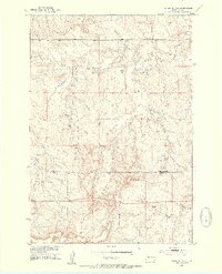
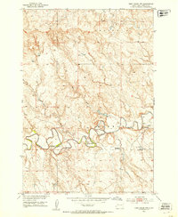
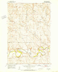
Other maps of this area

1951 · Maurine
USGS Topo · 1:24,000
1951 · Deep Creek NW
USGS Topo · 1:24,000
1951 · Bixby
USGS Topo · 1:24,000
1952 · Deep Creek SE
USGS Topo · 1:24,000

1952 · Deep Creek NE
USGS Topo · 1:24,000

1953 · Rapid City
USGS Topo · 1:250,000

1954 · Lemmon
USGS Topo · 1:250,000

1957 · Lemmon
USGS Topo · 1:250,000

1957 · Rapid City
USGS Topo · 1:250,000

1983 · Lemmon Butte
USGS Topo · 1:24,000