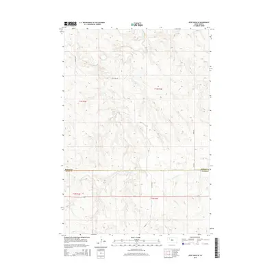
2015 Map of Deep Creek SE
USGS Topo · Published 2015About this map
Flint Creek and Deep Creek wind through this corner of the South Dakota plains, tracing a landscape defined by drainage patterns and remote section lines. The map captures a transition between Perkins County and Meade County, where the terrain begins to ripple with more complex contouring near the Flint Rock Creek drainage. Human presence is marked by a sparse network of section-line roads, including Deep Creek Road and Tower Road, which provide the primary access to these high plains. The lack of concentrated settlements or buildings emphasizes the open, agricultural nature of the region. Local nomenclature like Udager Place suggests family-held land or historic ranching sites that are central to the genealogical history of the area. This survey remains a critical tool for understanding the hydrologic and cadastral layout of the northern plains in the early 21st century.
Find a feature on this map
12 named features on this map. Tap any name to fly to it.
Don’t see what you’re looking for? This feature index may not catch every label — zoom into the map to look around manually.
Map Details
Editions of this 2015 Deep Creek SE Map
This is the sole edition of this map. No revisions or reprints were ever made.
Other maps of this area

1951 · Deep Creek NW
USGS Topo · 1:24,000

1952 · Deep Creek SE
USGS Topo · 1:24,000

1952 · Signal Butte
USGS Topo · 1:24,000

1952 · Deep Creek NE
USGS Topo · 1:24,000

1952 · Faith NW
USGS Topo · 1:24,000

1953 · Rapid City
USGS Topo · 1:250,000

1954 · Lemmon
USGS Topo · 1:250,000

1957 · Lemmon
USGS Topo · 1:250,000

1957 · Rapid City
USGS Topo · 1:250,000

1983 · Lemmon Butte
USGS Topo · 1:24,000