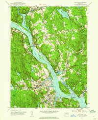
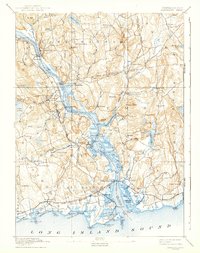
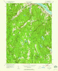
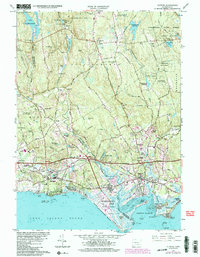
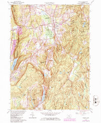
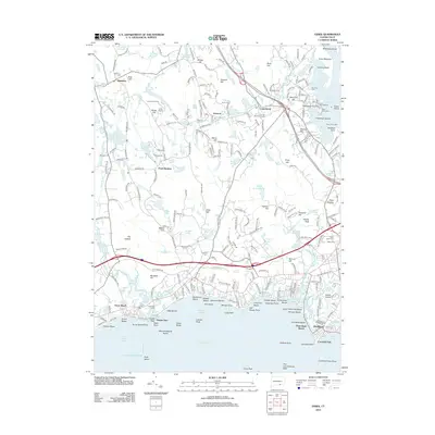
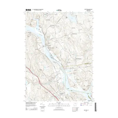
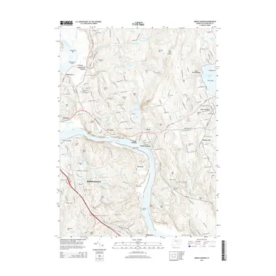
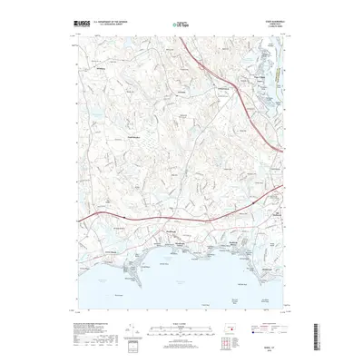
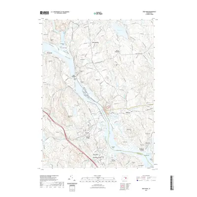
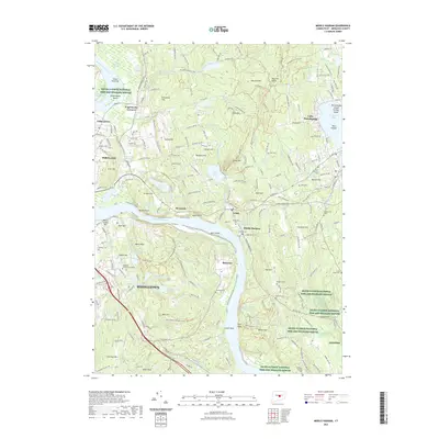
1952 Map of Deep River
USGS Topo · Published 1959About this map
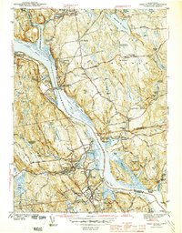
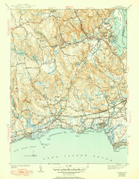
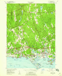
Gillette Castle State Park stands prominently overlooking the eastern bank of the Connecticut River, serving as a cultural anchor for this river valley landscape in the early 1950s. The topography is defined by the winding river and its significant tributaries, including the Salmon River and Eightmile River, which carve through a series of named ridges and heights like Mt Parnassus and Turkey Hill. In settlements such as Deep River, Chester, and East Haddam, the map documents a community infrastructure of schools like Nathan Hale High Sch and numerous burial grounds, including the Old Cove Burying Ground and Fountain Hill Cem. The transit corridor of the New York New Haven and Hartford railroad and the East Haddam Bridge illustrate the region's historical reliance on both rail and river navigation, while many ponds and reservoirs like Moodus Reservoir suggest a landscape shaped by local water management.
Find a feature on this map
87 named features on this map. Tap any name to fly to it.
Don’t see what you’re looking for? This feature index may not catch every label — zoom into the map to look around manually.
Map Details
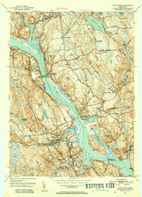
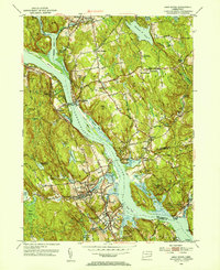
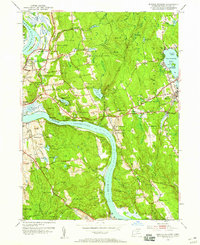
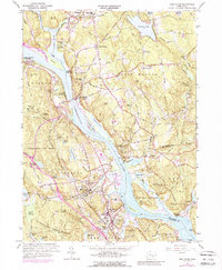
Editions of this 1952 Deep River Map
3 editions found
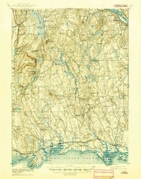
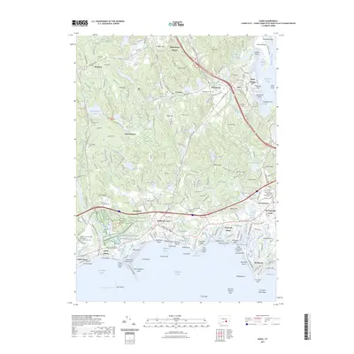
Historical Maps of East Haddam Through Time
49 maps found
1893 Guilford
Middlesex County, CT
1893 Saybrook
Middlesex County, CT

1928 Cromwell
Middlesex County, CT

1943 Durham
Middlesex County, CT
1944 Deep River
Middlesex County, CT
1944 Essex
Middlesex County, CT

1945 Middle Haddam
Middlesex County, CT
1951 Clinton
Middlesex County, CT
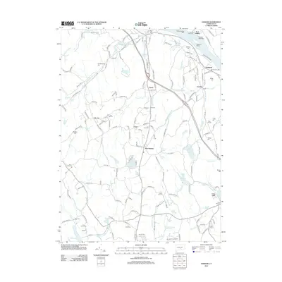
1952 Deep River
Middlesex County, CT
1952 Haddam
Middlesex County, CT
1952 Middle Haddam
Middlesex County, CT
1953 Durham
Middlesex County, CT
1958 Essex
Middlesex County, CT
1961 Clinton
Middlesex County, CT
1961 Deep River
Middlesex County, CT
1961 Haddam
Middlesex County, CT
1961 Middle Haddam
Middlesex County, CT
1964 Durham
Middlesex County, CT
2012 Clinton
Middlesex County, CT
2012 Deep River
Middlesex County, CT
2012 Durham
Middlesex County, CT
2012 Essex
Middlesex County, CT
2012 Haddam
Middlesex County, CT
2012 Middle Haddam
Middlesex County, CT
2015 Clinton
Middlesex County, CT
2015 Deep River
Middlesex County, CT
2015 Durham
Middlesex County, CT
2015 Essex
Middlesex County, CT
2015 Haddam
Middlesex County, CT
2015 Middle Haddam
Middlesex County, CT
2018 Clinton
Middlesex County, CT
2018 Deep River
Middlesex County, CT
2018 Durham
Middlesex County, CT
2018 Essex
Middlesex County, CT
2018 Haddam
Middlesex County, CT
2018 Middle Haddam
Middlesex County, CT
2021 Clinton
Middlesex County, CT
2021 Deep River
Middlesex County, CT
2021 Durham
Middlesex County, CT
2021 Essex
Middlesex County, CT
2021 Haddam
Middlesex County, CT
2021 Middle Haddam
Middlesex County, CT
2023 Essex
Middlesex County, CT
2024 Clinton
Middlesex County, CT
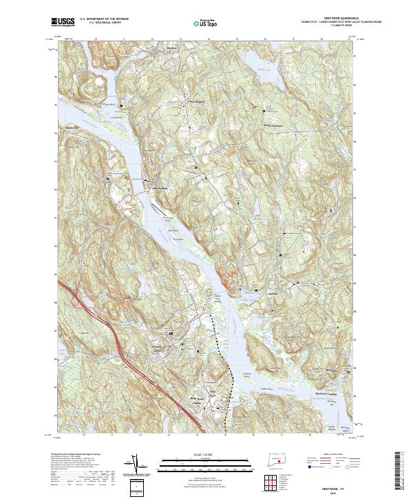
2024 Deep River
Middlesex County, CT
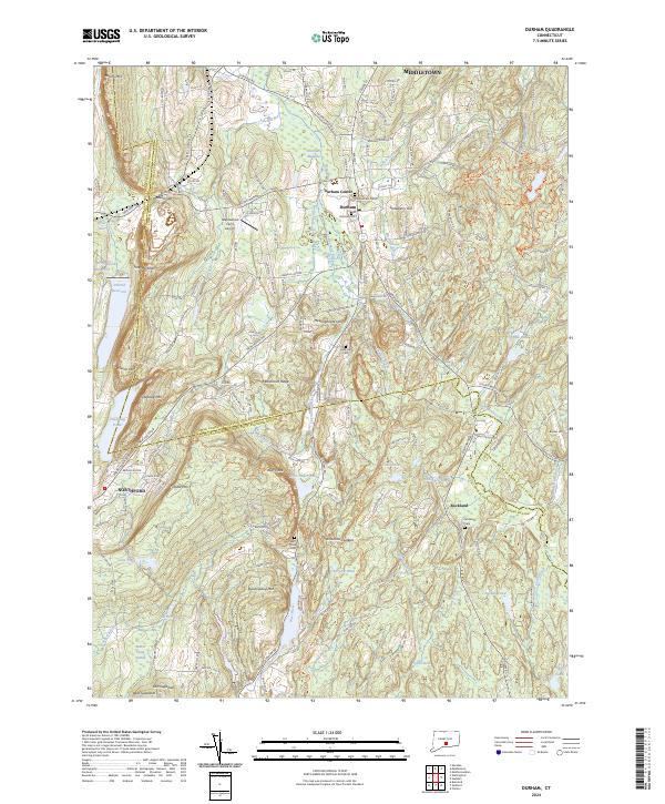
2024 Durham
Middlesex County, CT
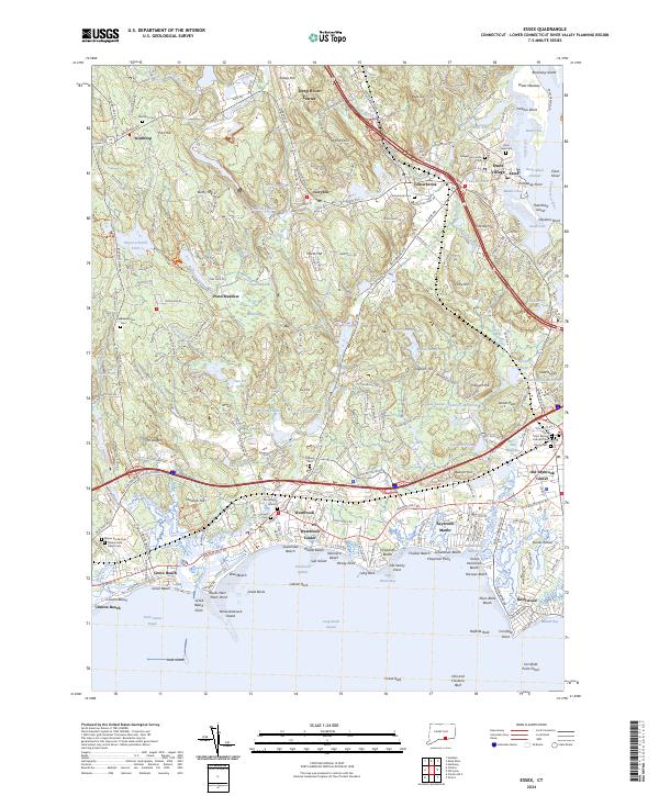
2024 Essex
Middlesex County, CT
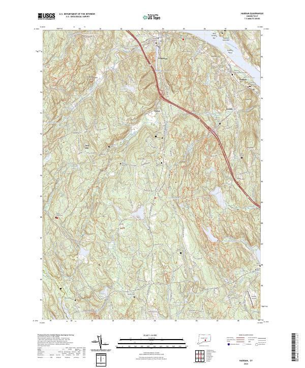
2024 Haddam
Middlesex County, CT
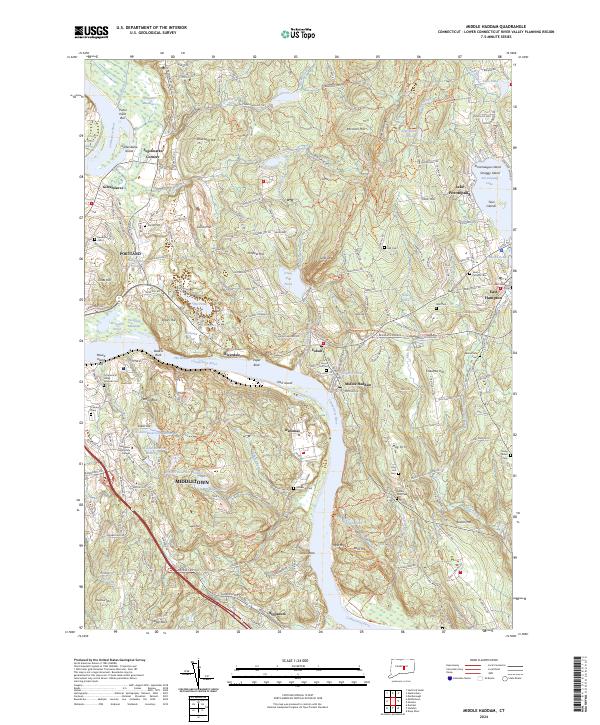
2024 Middle Haddam
Middlesex County, CT