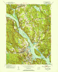
1952 Map of Deep River
USGS Topo · Published 1953About this map
The Connecticut River serves as the central artery for this mid-century survey, dividing the landscape between East Haddam and Chester. This corridor is defined by its deep-seated colonial and maritime roots, evidenced by the high concentration of family burying grounds and early industrial sites. Gillette Castle State Park stands prominently above the river, while across the water, the settlement of Deep River and the nearby Johnson Mill on the Salmon River reflect the region's enduring mix of recreation and small-scale manufacturing.
Find a feature on this map
79 named features on this map. Tap any name to fly to it.
Don’t see what you’re looking for? This feature index may not catch every label — zoom into the map to look around manually.
Map Details
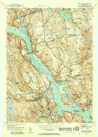
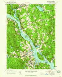
Editions of this 1952 Deep River Map
3 editions found
Other maps of this area

1892 · Gilead
USGS Topo · 1:62,500

1893 · Guilford
USGS Topo · 1:62,500

1893 · Middletown
USGS Topo · 1:62,500

1893 · Saybrook
USGS Topo · 1:62,500

1906 · Farmington
USGS Topo · 1:125,000

1941 · Lyme
USGS Topo · 1:31,680

1944 · Essex
USGS Topo · 1:31,680

1944 · Deep River
USGS Topo · 1:31,680

1945 · Middle Haddam
USGS Topo · 1:31,680
1945 · Colchester
USGS Topo · 1:31,680