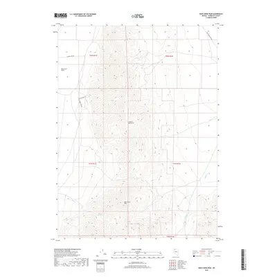
2018 Map of Deer Creek Peak
USGS Topo · Published 2018About this map
The Jackson Mountains dominate this 2018 survey of Humboldt County, rising sharply above the western expanse of the Black Rock Desert. This arid landscape is defined by its verticality and the vital presence of water sources that sustain life in the Great Basin. The prominence of Deer Creek Peak anchors the central topography, while seasonal and perennial flows like Deer Cr and Happy Cr carve through the high elevations. For researchers and local historians, the map documents the infrastructure of remote ranching life, tracing routes such as Jackson Ranch Rd and Happy Creek Ranch Rd. Smaller, critical landmarks like Willow Springs and Poorman Spring highlight the locations where water naturally breaks the surface, serving as essential waypoints for travelers and livestock alike in this sparsely populated region of Nevada.
Find a feature on this map
15 named features on this map. Tap any name to fly to it.
Don’t see what you’re looking for? This feature index may not catch every label — zoom into the map to look around manually.
Map Details
Editions of this 2018 Deer Creek Peak Map
This is the sole edition of this map. No revisions or reprints were ever made.
Other maps of this area

1886 · Disaster
USGS Topo · 1:250,000

1893 · Disaster
USGS Topo · 1:250,000

1954 · Vya
USGS Topo · 1:250,000

1958 · Vya
USGS Topo · 1:250,000

1961 · Quinn River Crossing
USGS Topo · 1:62,500

1961 · Bottle Creek
USGS Topo · 1:62,500

1962 · Vya
USGS Topo · 1:250,000

1965 · Duffer Peak
USGS Topo · 1:62,500

1972 · Deer Creek Slough
USGS Topo · 1:24,000

1972 · Hobo Canyon
USGS Topo · 1:24,000