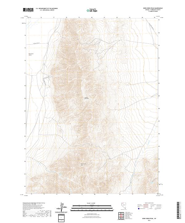
2021 Map of Deer Creek Peak
USGS Topo · Published 2021About this map
The Jackson Mountains dominate this landscape in Humboldt County, where the high point of Deer Creek Peak rises above the eastern edge of the Black Rock Desert. This 2021 topographic survey illustrates the transition from the arid desert floor to the elevated springs and drainages that define the local hydrology. Crucial water sources for the region's ranching and transit history are documented here, including Willow Springs and Poorman Spring. The sparse transportation network is tied to early land use, with routes such as Leonard Creek Rd, Jackson Ranch Rd, and Happy Creek Ranch Rd providing access to remote sections of the mountains. Seasonal drainages like Deer Cr and Happy Cr carve through the terrain, highlighting the geographic isolation and rugged character of this part of northern Nevada.
Find a feature on this map
15 named features on this map. Tap any name to fly to it.
Don’t see what you’re looking for? This feature index may not catch every label — zoom into the map to look around manually.
Map Details
Editions of this 2021 Deer Creek Peak Map
This is the sole edition of this map. No revisions or reprints were ever made.
Other maps of this area

1886 · Disaster
USGS Topo · 1:250,000

1893 · Disaster
USGS Topo · 1:250,000

1954 · Vya
USGS Topo · 1:250,000

1958 · Vya
USGS Topo · 1:250,000

1961 · Quinn River Crossing
USGS Topo · 1:62,500

1961 · Bottle Creek
USGS Topo · 1:62,500

1962 · Vya
USGS Topo · 1:250,000

1965 · Duffer Peak
USGS Topo · 1:62,500

1972 · Deer Creek Slough
USGS Topo · 1:24,000

1972 · Hobo Canyon
USGS Topo · 1:24,000