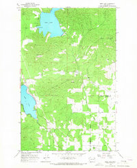
1965 Map of Deer Lake
USGS Topo · Published 1967About this map
Deer Lake and the northern tip of Loon Lake dominate this mid-1960s landscape along the border of Stevens and Spokane counties. The terrain is defined by extractive industries and local infrastructure, shown through numerous prospects, a sandpit, and claypits scattered across the elevations of Blue Grouse Mtn and Deer Lake Mountain. Water management is evident at the gaging station on the northern shore of the lake, while a network of drainage including Beaver Creek and Dragoon Creek moves through the valleys.
Find a feature on this map
27 named features on this map. Tap any name to fly to it.
Don’t see what you’re looking for? This feature index may not catch every label — zoom into the map to look around manually.
Map Details
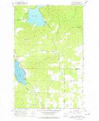
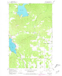
Editions of this 1965 Deer Lake Map
3 editions found
Other maps of this area

1901 · Spokane
USGS Topo · 1:125,000

1927 · Chewelah
USGS Topo · 1:125,000

1930 · Chewelah
USGS Topo · 1:125,000

1936 · Newport
USGS Topo · 1:96,000

1942 · Newport
USGS Topo · 1:125,000

1944 · Clayton
USGS Topo · 1:62,500

1949 · Deer Park
USGS Topo · 1:62,500

1950 · Clayton
USGS Topo · 1:62,500

1951 · Deer Park
USGS Topo · 1:62,500

1955 · Spokane
USGS Topo · 1:250,000