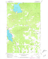
1965 Map of Deer Lake
USGS Topo · Published 1981About this map
Deer Lake and Loon Lake dominate this mountainous landscape in eastern Washington, where the high ridges of Deer Lake Mountain and Loon Lake Mountain frame a region of heavy extractive industry and rail transit. The shoreline of Loon Lake is traced by the Burlington Northern railroad, a vital corridor for moving timber and minerals through the Pacific Northwest. Resource extraction is evident across the terrain, with numerous claypits, a gravel pit, and the Little King Mines located near Blue Grouse Mtn. In the southern portion of the map, the landscape shifts toward rural development along Oregon Road and Spotted Road. Local history is anchored by the Zion Hill Cem near the intersection of Mason Road and Johnson Road, marking a established pocket of settlement amidst the drainage basins of Dragoon Creek and Beaver Creek.
Find a feature on this map
25 named features on this map. Tap any name to fly to it.
Don’t see what you’re looking for? This feature index may not catch every label — zoom into the map to look around manually.
Map Details
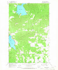
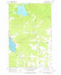
Editions of this 1965 Deer Lake Map
3 editions found
Other maps of this area

1901 · Spokane
USGS Topo · 1:125,000

1927 · Chewelah
USGS Topo · 1:125,000

1930 · Chewelah
USGS Topo · 1:125,000

1936 · Newport
USGS Topo · 1:96,000

1942 · Newport
USGS Topo · 1:125,000

1944 · Clayton
USGS Topo · 1:62,500

1949 · Deer Park
USGS Topo · 1:62,500

1950 · Clayton
USGS Topo · 1:62,500

1951 · Deer Park
USGS Topo · 1:62,500

1955 · Spokane
USGS Topo · 1:250,000