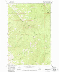
1964 Map of Deer Mountain
USGS Topo · Published 1986About this map
Sleeping Child Hot Springs serves as a prominent landmark in the northeastern portion of this mountainous terrain within the Bitterroot National Forest. The landscape is defined by an intricate network of drainages and high points, such as Deer Mountain and Blacktail Point, which were mapped during the mid-1960s. A system of pack trails weaves through the steep topography, connecting remote points like Hamburger Flat and Cold Spring Hill.
Find a feature on this map
30 named features on this map. Tap any name to fly to it.
Don’t see what you’re looking for? This feature index may not catch every label — zoom into the map to look around manually.
Map Details
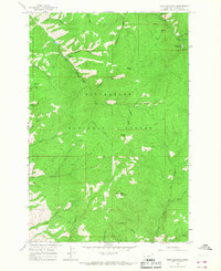
Editions of this 1964 Deer Mountain Map
2 editions found
Other maps of this area

1901 · Hamilton
USGS Topo · 1:125,000

1909 · Sapphire
USGS Topo · 1:125,000

1947 · Butte
USGS Topo · 1:250,000

1955 · Dillon
USGS Topo · 1:250,000

1956 · Elk City
USGS Topo · 1:250,000

1956 · Hamilton
USGS Topo · 1:250,000

1957 · Dillon
USGS Topo · 1:250,000

1958 · Butte
USGS Topo · 1:250,000

1958 · Dillon
USGS Topo · 1:250,000

1959 · Hamilton
USGS Topo · 1:250,000