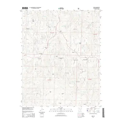
2014 Map of Deer
USGS Topo · Published 2014About this map
The mountain community of Deer serves as a focal point in this portion of the Ozark National Forest, situated at the junction of State Hwy 16 and State Hwy 7. The landscape is defined by its deep drainages and prominent peaks, including Henderson Mtn and Davis Knob, with notable geological features like the Alum Cove Natural Bridge in the northwest. Local history is anchored by the Deer Cem and the Deer Fire Tower, while smaller settlements such as Cowell, Pleasant Hill, and Chancel are scattered along the ridgelines.
Find a feature on this map
47 named features on this map. Tap any name to fly to it.
Don’t see what you’re looking for? This feature index may not catch every label — zoom into the map to look around manually.
Map Details
Editions of this 2014 Deer Map
This is the sole edition of this map. No revisions or reprints were ever made.
Other maps of this area

1889 · Treat
USGS Topo · 1:62,500

1889 · Ozone
USGS Topo · 1:62,500

1932 · Treat
USGS Topo · 1:62,500

1933 · Mt Judea
USGS Topo · 1:62,500

1934 · Treat
USGS Topo · 1:62,500

1934 · Ozone
USGS Topo · 1:62,500

1936 · Ozone
USGS Topo · 1:62,500

1940 · Mt Judea
USGS Topo · 1:62,500

1956 · Russellville
USGS Topo · 1:250,000

1964 · Russellville
USGS Topo · 1:250,000