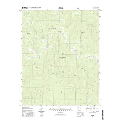
2017 Map of Deer
USGS Topo · Published 2017About this map
Deer and Cowell occupy the high ridges of the Boston Mountains in this modern survey of Newton County. The landscape is defined by the steep relief of the Ozark National Forest, where the topography drops sharply from summits like Henderson Mtn and Owens Mtn into deeply carved drainages such as Sandy Springs Hollow and Slusher Hollow. Transportation in this part of Arkansas follows the natural contours of the land, with the Deer Tower Trail and Taylor Ridge Rd 47 tracing the narrow spines between the watersheds of the Little Buffalo Cr and Hurricane Cr.
Find a feature on this map
51 named features on this map. Tap any name to fly to it.
Don’t see what you’re looking for? This feature index may not catch every label — zoom into the map to look around manually.
Map Details
Editions of this 2017 Deer Map
This is the sole edition of this map. No revisions or reprints were ever made.
Other maps of this area

1889 · Treat
USGS Topo · 1:62,500

1889 · Ozone
USGS Topo · 1:62,500

1932 · Treat
USGS Topo · 1:62,500

1933 · Mt Judea
USGS Topo · 1:62,500

1934 · Treat
USGS Topo · 1:62,500

1934 · Ozone
USGS Topo · 1:62,500

1936 · Ozone
USGS Topo · 1:62,500

1940 · Mt Judea
USGS Topo · 1:62,500

1956 · Russellville
USGS Topo · 1:250,000

1964 · Russellville
USGS Topo · 1:250,000