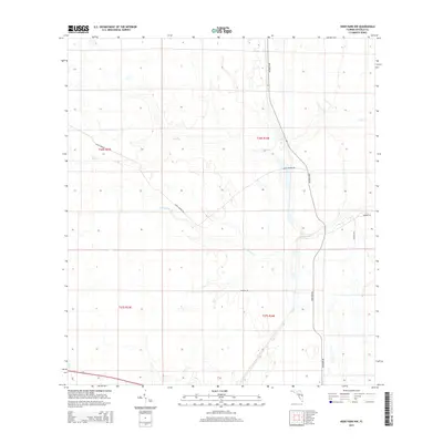
2015 Map of Deer Park NW
USGS Topo · Published 2015About this map
Wolf Cr and Pennywash Cr meander through this landscape in Osceola County, Florida, illustrating the typical drainage patterns of the region's low-lying terrain. The 2015 survey reveals a sparse network of roads, with Deer Park Rd serving as a primary north-south corridor through the central and eastern sections. Branching paths such as Gator Branch Rd and Valencia Rd cut across the wetlands and scrub, providing access to more remote interior reaches. The presence of named tracks like Deseret Ln and Buckskin Rd suggests localized land use or ranching activity in a largely undeveloped area. This documentation provides a clear look at the township and range divisions, specifically covering parts of t26s r33e and t26s r34e, which are essential for property research and land title investigations.
Find a feature on this map
11 named features on this map. Tap any name to fly to it.
Don’t see what you’re looking for? This feature index may not catch every label — zoom into the map to look around manually.
Map Details
Editions of this 2015 Deer Park NW Map
This is the sole edition of this map. No revisions or reprints were ever made.
Other maps of this area

1953 · Lake Poinsett
USGS Topo · 1:24,000

1953 · Deer Park NE
USGS Topo · 1:24,000

1953 · Holopaw SE
USGS Topo · 1:24,000

1953 · Deer Park SE
USGS Topo · 1:24,000

1953 · Narcoossee SE
USGS Topo · 1:24,000

1953 · Deer Park NW
USGS Topo · 1:24,000

1953 · Lake Poinsett SW
USGS Topo · 1:24,000

1953 · Deer Park
USGS Topo · 1:24,000

1953 · Holopaw
USGS Topo · 1:24,000

1955 · Orlando
USGS Topo · 1:250,000