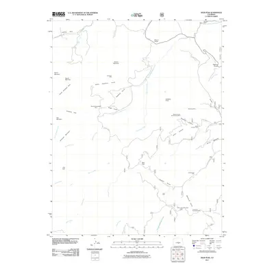
2011 Map of Deer Peak
USGS Topo · Published 2011About this map
Deer Peak towers over a landscape defined by its mining history and complex drainage systems in Huerfano County. The terrain is marked by numerous mineral extraction sites, including the Wild Goose Mine to the north and the Hardin Claim Group Mine and Gold Crown Number Two Mine to the south, indicating a long-standing relationship between local industry and the mountain geology. Settlement activity is concentrated at the Abbey Summer Camp near Middle Creek, while the broader area is punctuated by named mountain parks such as South Hardscrabble Park and North Antelope Park. A dense network of watercourses, including Ophir Creek, Little Froze Creek, and South Hardscrabble Creek, carves through the high-elevation divides like Wixson Divide and Bigelow Divide, illustrating the rugged catchment area that feeds into the regional river systems.
Find a feature on this map
55 named features on this map. Tap any name to fly to it.
Don’t see what you’re looking for? This feature index may not catch every label — zoom into the map to look around manually.
Map Details
Editions of this 2011 Deer Peak Map
This is the sole edition of this map. No revisions or reprints were ever made.
Other maps of this area

1889 · Canon City
USGS Topo · 1:125,000

1889 · Huerfano Park
USGS Topo · 1:125,000

1892 · Huerfano Park
USGS Topo · 1:125,000

1892 · Canon City
USGS Topo · 1:125,000

1954 · Mount Tyndall
USGS Topo · 1:24,000

1954 · Rosita
USGS Topo · 1:24,000

1954 · Trinidad
USGS Topo · 1:250,000

1954 · Pueblo
USGS Topo · 1:250,000

1955 · Trinidad
USGS Topo · 1:250,000

1957 · Pueblo
USGS Topo · 1:250,000