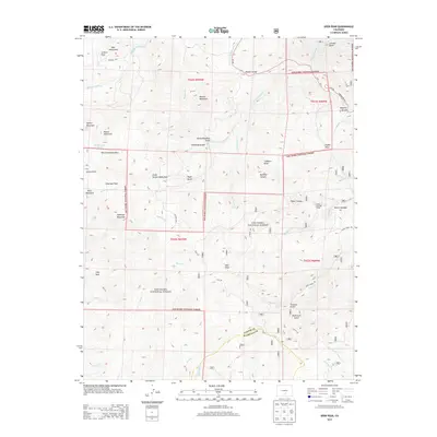
2013 Map of Deer Peak
USGS Topo · Published 2013About this map
The Wet Mountains dominate this high-altitude landscape on the boundary of Custer and Huerfano counties. Centered on the prominent summit of Deer Peak, the terrain is defined by a complex network of drainages and open mountain parks used for high-country grazing. Features such as Junkins Park, Antelope Park, and South Hardscrabble Park suggest a long history of seasonal land use within the San Isabel National Forest.
Find a feature on this map
57 named features on this map. Tap any name to fly to it.
Don’t see what you’re looking for? This feature index may not catch every label — zoom into the map to look around manually.
Map Details
Editions of this 2013 Deer Peak Map
This is the sole edition of this map. No revisions or reprints were ever made.
Other maps of this area

1889 · Canon City
USGS Topo · 1:125,000

1889 · Huerfano Park
USGS Topo · 1:125,000

1892 · Huerfano Park
USGS Topo · 1:125,000

1892 · Canon City
USGS Topo · 1:125,000

1954 · Mount Tyndall
USGS Topo · 1:24,000

1954 · Rosita
USGS Topo · 1:24,000

1954 · Trinidad
USGS Topo · 1:250,000

1954 · Pueblo
USGS Topo · 1:250,000

1955 · Trinidad
USGS Topo · 1:250,000

1957 · Pueblo
USGS Topo · 1:250,000