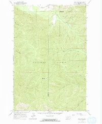
1964 Map of Deer Peak
USGS Topo · Published 1967About this map
The Lolo National Forest dominates this mid-1960s terrain, straddling the boundary between Mineral and Missoula counties. The landscape is defined by the high point of Deer Peak, where the Deer Peak Lookout Tower stands as a primary landmark for fire observation. The northern edge of the map shows the transition to the valley floor, where the Northern Pacific railroad tracks run parallel to the mountains.
Find a feature on this map
15 named features on this map. Tap any name to fly to it.
Don’t see what you’re looking for? This feature index may not catch every label — zoom into the map to look around manually.
Map Details
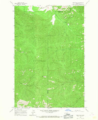
Editions of this 1964 Deer Peak Map
2 editions found
Other maps of this area

1911 · Lolo
USGS Topo · 1:250,000

1912 · Missoula
USGS Topo · 1:125,000

1913 · Lolo
USGS Topo · 1:250,000

1956 · Wallace
USGS Topo · 1:250,000

1956 · Hamilton
USGS Topo · 1:250,000

1959 · Hamilton
USGS Topo · 1:250,000

1959 · Tarkio
USGS Topo · 1:62,500

1959 · Alberton
USGS Topo · 1:62,500

1960 · Wallace
USGS Topo · 1:250,000

1960 · Hamilton
USGS Topo · 1:250,000