Loading...
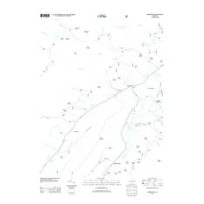
Loading map...1967 Map of Deerfield
USGS Topo · Published 1985About this map
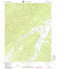
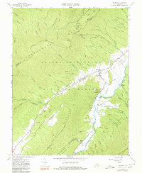
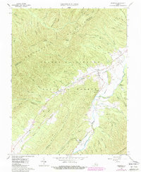
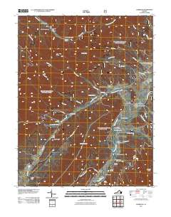
Deerfield sits at the heart of this mid-1960s survey, positioned where the valley floor meets the high ridges of the George Washington National Forest. The landscape is defined by the Calepasture River and a network of drafts and hollows, such as Broadway Branch and Tizzle Branch, which carve through the massive forms of Shenandoah Mountain and Walker Mountain. This map documents a quiet rural pocket of Augusta County, marked by small settlements like Little Baltimore and Fridley.
Find a feature on this map
73 named features on this map. Tap any name to fly to it.
Don’t see what you’re looking for? This feature index may not catch every label — zoom into the map to look around manually.
Map Details
Date Portrayed1967
Date Published1985
PublisherU.S. Geological Survey
Map TypeTopographic
Scale1:24,000
Physical Dimensions22 x 26.9 inches
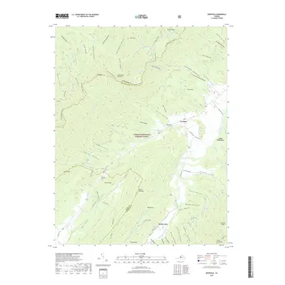
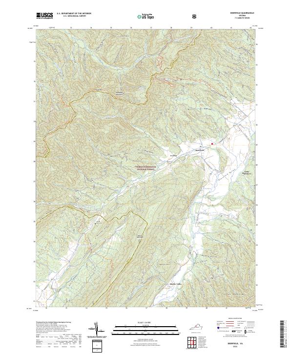
Editions of this 1967 Deerfield Map
4 editions found

Historical Maps of Little Baltimore Through Time
6 maps found
Featured Locations
Source Details
SourceU.S. Geological Survey
CopyrightPublic Domain