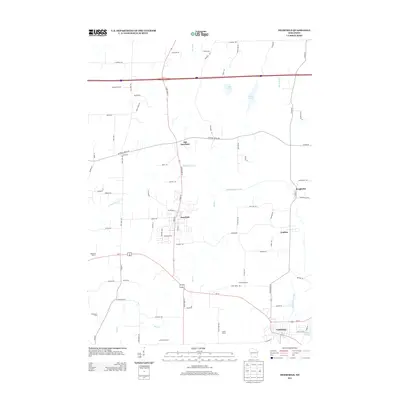
2013 Map of Deerfield
USGS Topo · Published 2013About this map
Deerfield and its historical predecessor Old Deerfield anchor this southeastern Wisconsin landscape, which is defined by the winding course of Koshkonong Creek and its southern tributary, Mud Cr. The area is characterized by a stable agricultural pattern, with established operations such as Mikkelson Farm, Smithback Farm, and Christiana Farms marking the surrounding countryside. These named farmsteads reflect the long-term family-led development of the region's fertile soils.
Find a feature on this map
80 named features on this map. Tap any name to fly to it.
Don’t see what you’re looking for? This feature index may not catch every label — zoom into the map to look around manually.
Map Details
Editions of this 2013 Deerfield Map
This is the sole edition of this map. No revisions or reprints were ever made.
Other maps of this area

1890 · Sun Prairie
USGS Topo · 1:62,500

1890 · Stoughton
USGS Topo · 1:62,500

1891 · Waterloo
USGS Topo · 1:62,500

1891 · Koshkonong
USGS Topo · 1:62,500

1894 · Waterloo
USGS Topo · 1:62,500

1894 · Koshkonong
USGS Topo · 1:62,500

1896 · Sun Prairie
USGS Topo · 1:62,500

1905 · Sun Prairie
USGS Topo · 1:62,500

1906 · Koshkonong
USGS Topo · 1:62,500

1907 · Sun Prairie
USGS Topo · 1:62,500