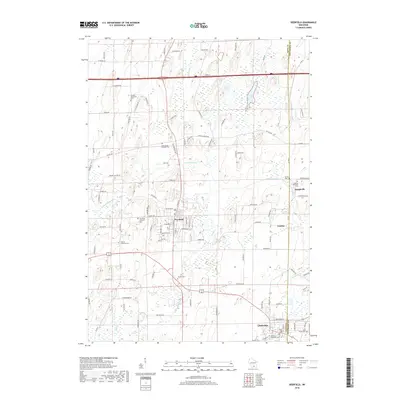
2018 Map of Deerfield
USGS Topo · Published 2018About this map
Deerfield stands at the heart of this landscape, where the agricultural grid is defined by the winding course of Koshkonong Cr. The area is notably dense with small burial grounds that speak to the early settlement patterns of the region, including the Pioneer Norwegian Cem and the Lutheran Moravian Cem. These sites, often situated near the boundaries of Dane Co and Jefferson Co, reflect the distinct ethnic and denominational clusters of the farming community.
Find a feature on this map
106 named features on this map. Tap any name to fly to it.
Don’t see what you’re looking for? This feature index may not catch every label — zoom into the map to look around manually.
Map Details
Editions of this 2018 Deerfield Map
This is the sole edition of this map. No revisions or reprints were ever made.
Other maps of this area

1890 · Sun Prairie
USGS Topo · 1:62,500

1890 · Stoughton
USGS Topo · 1:62,500

1891 · Waterloo
USGS Topo · 1:62,500

1891 · Koshkonong
USGS Topo · 1:62,500

1894 · Waterloo
USGS Topo · 1:62,500

1894 · Koshkonong
USGS Topo · 1:62,500

1896 · Sun Prairie
USGS Topo · 1:62,500

1905 · Sun Prairie
USGS Topo · 1:62,500

1906 · Koshkonong
USGS Topo · 1:62,500

1907 · Sun Prairie
USGS Topo · 1:62,500