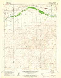
1960 Map of Deerfield NE
USGS Topo · Published 1961About this map
The Arkansas River serves as the central geographic divider for this High Plains landscape, where the interplay of water and industry is clearly defined. North of the river, the Atchison Topeka and Santa Fe railroad corridor parallels the water, anchoring the community of Deerfield. This area is heavily reliant on an extensive irrigation network, with the Farmers Ditch, Great Eastern Ditch, and Southside Ditch channeling water across the flat terrain to support agriculture.
Find a feature on this map
13 named features on this map. Tap any name to fly to it.
Don’t see what you’re looking for? This feature index may not catch every label — zoom into the map to look around manually.
Map Details
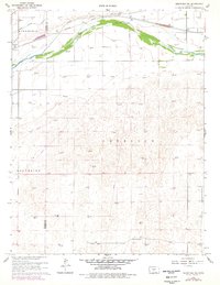
Editions of this 1960 Deerfield NE Map
2 editions found
Other maps of this area

1891 · Larned
USGS Topo · 1:125,000

1896 · Garden
USGS Topo · 1:125,000

1900 · Lakin
USGS Topo · 1:125,000

1944 · Tennis
USGS Topo · 1:62,500

1955 · Dodge City
USGS Topo · 1:250,000

1955 · Scott City
USGS Topo · 1:250,000

1958 · Dodge City
USGS Topo · 1:250,000

1958 · Scott City
USGS Topo · 1:250,000

1959 · Dodge City
USGS Topo · 1:250,000

1960 · Garden City SW
USGS Topo · 1:24,000