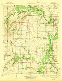
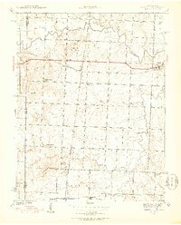
1942 Map of Deerfield
USGS Topo · Published 1942About this map
The Marmaton River snakes through this Missouri-Kansas borderlands survey, defining a landscape marked by small rural settlements and a dense network of country schools. At the eastern edge, the town of Deerfield sits at the junction of the Kansas City Southern railroad and several local routes, while smaller rail-side communities like Eve and Bunnville highlight the importance of the rail line to the local economy.
Find a feature on this map
31 named features on this map. Tap any name to fly to it.
Don’t see what you’re looking for? This feature index may not catch every label — zoom into the map to look around manually.
Map Details
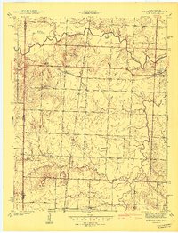
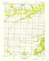
Editions of this 1942 Deerfield Map
2 editions found
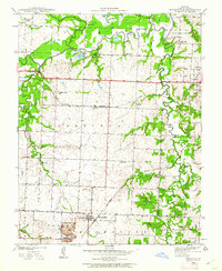
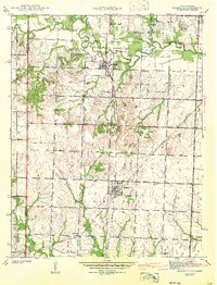
Other maps of this area

1884 · Fort Scott
USGS Topo · 1:125,000

1886 · Nevada
USGS Topo · 1:125,000

1886 · Fort Scott
USGS Topo · 1:125,000

1893 · Fort Scott
USGS Topo · 1:125,000

1894 · Nevada
USGS Topo · 1:125,000
1938 · Metz
USGS Topo · 1:24,000
1939 · Metz
USGS Topo · 1:24,000
1939 · Deerfield
USGS Topo · 1:24,000
1939 · Moundville
USGS Topo · 1:24,000
1942 · Richards
USGS Topo · 1:24,000