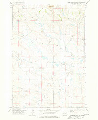
1977 Map of Deers Ears Butte South
USGS Topo · Published 1978About this map
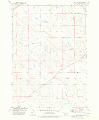
Deers Ears Butte and a series of prominent high points define the horizon of this Butte County landscape as it appeared in the late 1970s. The area is characterized by an extensive network of ephemeral drainages, including the North and South forks of North Double R Creek and the meandering path of Johns Creek. These waterways carve through the terrain between landmarks like Snake Butte and Wheelbarrow Butte, illustrating a classic Western ranching environment where water sources dictate the placement of human activity. Evidence of rural community life is sparse but significant, centered on the Twilight Sch located on the eastern edge of the survey area. Small improvements like windmills and isolated tanks are scattered throughout the quadrangle, connected by a web of unimproved roads and trails that navigate the spaces between Lookout Butte and Sulphur Creek.
Find a feature on this map
13 named features on this map. Tap any name to fly to it.
Don’t see what you’re looking for? This feature index may not catch every label — zoom into the map to look around manually.
Map Details
Editions of this 1977 Deers Ears Butte South Map
This is the sole edition of this map. No revisions or reprints were ever made.
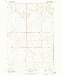
Other maps of this area

1913 · Newell
USGS Topo · 1:125,000

1935 · Hoover
USGS Topo · 1:125,000

1953 · Rapid City
USGS Topo · 1:250,000

1954 · Lemmon
USGS Topo · 1:250,000

1957 · Lemmon
USGS Topo · 1:250,000

1957 · Rapid City
USGS Topo · 1:250,000
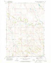
1973 · Deers Ears Butte North
USGS Topo · 1:24,000
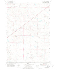
1973 · Owl Butte
USGS Topo · 1:24,000
1977 · Hoover
USGS Topo · 1:24,000
1977 · Owl Butte SE
USGS Topo · 1:24,000