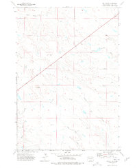
1973 Map of Owl Butte
USGS Topo · Published 1978About this map
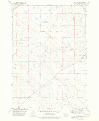
Owl Butte rises as the primary landmark in this expanse of Butte County, South Dakota. This 1970s survey captures a landscape defined by an intricate network of drainages and seasonal watercourses. The territory is carved by numerous named streams including South Double Creek in the north and South Sulphur Creek to the east. Farther south, the terrain descends toward the confluence of Elm Creek, Station Elm Creek, and Mud Creek. The distribution of Drill Hole markers across the quadrangle suggests localized geological exploration or ranching infrastructure during this era. Most of the land is characterized by these meandering creek beds, such as Butte Creek, which trace the natural topography of the High Plains before the further modernization of the local ranching landscape.
Find a feature on this map
8 named features on this map. Tap any name to fly to it.
Don’t see what you’re looking for? This feature index may not catch every label — zoom into the map to look around manually.
Map Details
Editions of this 1973 Owl Butte Map
This is the sole edition of this map. No revisions or reprints were ever made.
Other maps of this area

1906 · Vale
USGS Topo · 1:62,500

1913 · Newell
USGS Topo · 1:125,000

1951 · Vale NE
USGS Topo · 1:24,000

1951 · Vale
USGS Topo · 1:62,500

1953 · Rapid City
USGS Topo · 1:250,000

1957 · Rapid City
USGS Topo · 1:250,000
1959 · Volunteer NW
USGS Topo · 1:24,000
1959 · Volunteer NE
USGS Topo · 1:24,000
1977 · Deers Ears Butte South
USGS Topo · 1:24,000
1977 · Owl Butte SE
USGS Topo · 1:24,000