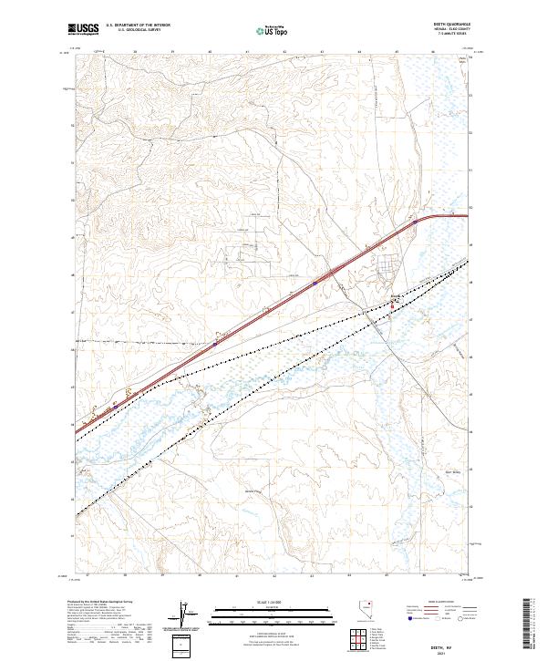
2021 Map of Deeth
USGS Topo · Published 2021About this map
Humboldt River and its confluence with Marys River define the geographic heart of this Elko County region. The small settlement of Deeth occupies a critical junction where the river systems meet the interstate and rail corridors, serving as a gateway to the high desert ranching lands. To the south, the community of Starr Valley sits at the foot of the mountains, with its namesake Starr Valley Rd and Starr Valley Loop tracing the agricultural footprint of the area.
Find a feature on this map
32 named features on this map. Tap any name to fly to it.
Don’t see what you’re looking for? This feature index may not catch every label — zoom into the map to look around manually.
Map Details
Editions of this 2021 Deeth Map
This is the sole edition of this map. No revisions or reprints were ever made.
Other maps of this area

1935 · Halleck
USGS Topo · 1:125,000

1955 · Wells
USGS Topo · 1:250,000

1955 · Elko
USGS Topo · 1:250,000

1958 · Wells
USGS Topo · 1:250,000

1958 · Elko
USGS Topo · 1:250,000

1961 · Wells
USGS Topo · 1:250,000

1962 · Elko
USGS Topo · 1:250,000

1965 · Elko
USGS Topo · 1:250,000

1967 · Twin Buttes
USGS Topo · 1:24,000

1967 · Peko Peak
USGS Topo · 1:24,000