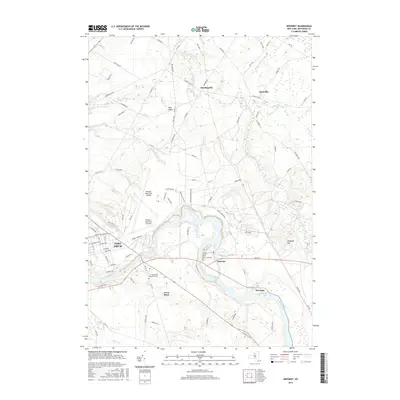
2016 Map of Deferiet
USGS Topo · Published 2016About this map
The Black River meanders through the heart of this Jefferson County landscape, anchoring the riverside communities of Deferiet, Great Bend, and Herrings. This area is defined by the significant military footprint of Fort Drum, which occupies much of the northern and central terrain. Within the installation, the Wheeler-Sack Army Airfield stands as a primary infrastructure hub, surrounded by a network of tactical routes such as Tank Trl and UAV Rd.
Find a feature on this map
85 named features on this map. Tap any name to fly to it.
Don’t see what you’re looking for? This feature index may not catch every label — zoom into the map to look around manually.
Map Details
Editions of this 2016 Deferiet Map
This is the sole edition of this map. No revisions or reprints were ever made.
Other maps of this area

1895 · Watertown
USGS Topo · 1:62,500

1898 · Watertown
USGS Topo · 1:62,500

1902 · Carthage
USGS Topo · 1:62,500

1903 · Theresa
USGS Topo · 1:62,500

1904 · Carthage
USGS Topo · 1:62,500

1908 · Watertown
USGS Topo · 1:62,500

1909 · Watertown
USGS Topo · 1:62,500

1911 · Antwerp
USGS Topo · 1:62,500

1942 · Copenhagen
USGS Topo · 1:24,000

1943 · Copenhagen
USGS Topo · 1:31,680