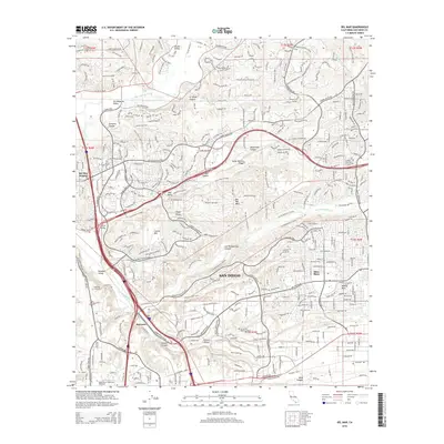
2015 Map of Del Mar
USGS Topo · Published 2015About this map
San Diego neighborhoods and canyons define this coastal landscape during a period of significant suburban and academic expansion. The southern portion of the sheet is anchored by the University of California San Diego and National University, illustrating the region's development as an educational hub. To the north, the terrain is shaped by the San Dieguito River and numerous drainages like Gonzales Canyon and McGonigle Canyon, which cut through the mesas.
Find a feature on this map
49 named features on this map. Tap any name to fly to it.
Don’t see what you’re looking for? This feature index may not catch every label — zoom into the map to look around manually.
Map Details
Editions of this 2015 Del Mar Map
This is the sole edition of this map. No revisions or reprints were ever made.
Other maps of this area

1893 · Oceanside
USGS Topo · 1:62,500

1893 · Escondido
USGS Topo · 1:62,500

1898 · Oceanside
USGS Topo · 1:62,500

1901 · Escondido
USGS Topo · 1:62,500

1901 · Oceanside
USGS Topo · 1:62,500

1901 · San Luis Rey
USGS Topo · 1:125,000

1903 · La Jolla
USGS Topo · 1:62,500

1904 · Southern California Sheet No. 2
USGS Topo · 1:250,000

1930 · La Jolla
USGS Topo · 1:62,500

1942 · Poway Valley
USGS Topo · 1:31,680
Featured Places
- San Diego, CA
- Solana Beach, CA
- Fairbanks Ranch, CA
- Sorrento Valley, San Diego
- Rancho Peñasquitos, San Diego