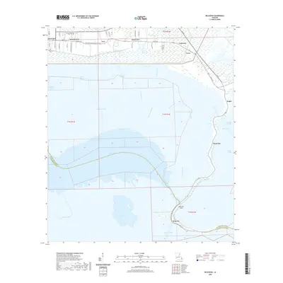
2020 Map of Delacroix
USGS Topo · Published 2020About this map
The low-lying marshlands of St. Bernard Parish are defined by a complex network of man-made canals and natural bayous that support the region's historical connection to the water. Settlements like Saint Bernard, Kenilworth, and Reggio are clustered along the northern and eastern ridges, while Delacroix and Delacroix Island sit deep within the wetlands to the south. This landscape is a patchwork of drainage and navigation efforts, ranging from the Eighty Arpent Canal to the Schooner Canal, which cut through the expanse near Lake Lery and Lost Lake.
Find a feature on this map
56 named features on this map. Tap any name to fly to it.
Don’t see what you’re looking for? This feature index may not catch every label — zoom into the map to look around manually.
Map Details
Editions of this 2020 Delacroix Map
This is the sole edition of this map. No revisions or reprints were ever made.
Other maps of this area

1891 · Pointe a La Hache
USGS Topo · 1:62,500

1892 · St. Bernard
USGS Topo · 1:62,500

1892 · Pointe a La Hache
USGS Topo · 1:62,500

1893 · Shell Beach
USGS Topo · 1:62,500

1893 · Dime
USGS Topo · 1:62,500

1935 · Delacroix
USGS Topo · 1:31,680

1935 · Lake Batola
USGS Topo · 1:31,680

1939 · Shell Beach
USGS Topo · 1:62,500
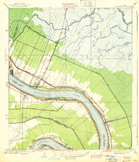
1939 · Chalmette
USGS Topo · 1:31,680

1939 · Pointe a La Hache
USGS Topo · 1:62,500