Loading...
Loading map...2024 Map of Delacroix
USGS Topo · Published 2024About this map
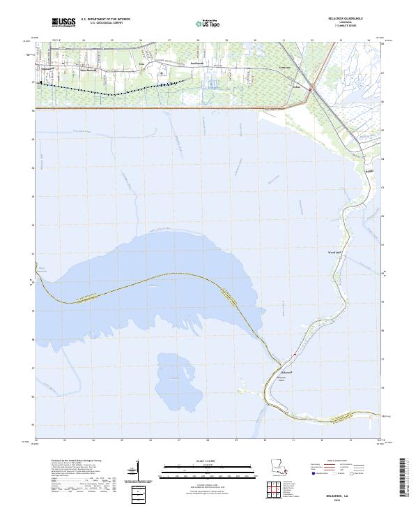
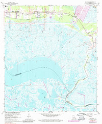
Saint Bernard and the surrounding marshlands of the Mississippi River delta appear in this 2024 survey, illustrating a landscape defined by an intricate network of historical drainage and navigation channels. The northern edge of the map follows the linear settlement pattern along Bayou Rd, where communities like Contreras, Verret, and Kenilworth cluster on the higher ground of the natural levee. This area is anchored by local landmarks such as True Love Cem and Toca.
Find a feature on this map
41 named features on this map. Tap any name to fly to it.
Don’t see what you’re looking for? This feature index may not catch every label — zoom into the map to look around manually.
Map Details
Date Portrayed2024
Date Published2024
PublisherU.S. Geological Survey
Map TypeTopographic
Scale1:24000
Physical Dimensions24 x 29 inches
Editions of this 2024 Delacroix Map
This is the sole edition of this map. No revisions or reprints were ever made.
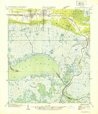
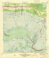
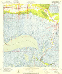
Historical Maps of Wood Lake Through Time
5 maps found
Featured Locations
Source Details
SourceU.S. Geological Survey
CopyrightPublic Domain