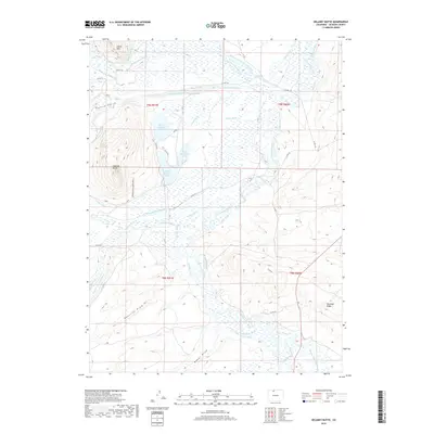
2019 Map of Delaney Butte
USGS Topo · Published 2019About this map
North Delaney Lake, East Delaney Lake, and South Delaney Lake form a central cluster of water bodies within the Delaney Butte Lakes SWA, characterizing this high-country drainage basin. This Jackson County landscape is defined by an intricate network of irrigation systems, reflecting the region's agricultural engineering. Prominent canals such as the Hanson and Wattenberg Ditch, Legal Tender Ditch, and Independent Ditch crisscross the terrain, directing water from the N Fork N Platte River and its tributaries.
Find a feature on this map
61 named features on this map. Tap any name to fly to it.
Don’t see what you’re looking for? This feature index may not catch every label — zoom into the map to look around manually.
Map Details
Editions of this 2019 Delaney Butte Map
This is the sole edition of this map. No revisions or reprints were ever made.
Other maps of this area

1911 · Hahns Peak
USGS Topo · 1:125,000

1913 · Hahns Peak
USGS Topo · 1:125,000

1954 · Craig
USGS Topo · 1:250,000

1955 · Lake John
USGS Topo · 1:24,000

1955 · Pitchpine Mountain
USGS Topo · 1:24,000

1955 · Teal Lake
USGS Topo · 1:24,000

1955 · Delaney Butte
USGS Topo · 1:24,000

1955 · Coalmont
USGS Topo · 1:24,000

1955 · Walden
USGS Topo · 1:24,000

1955 · Mac Farlane Reservoir
USGS Topo · 1:24,000