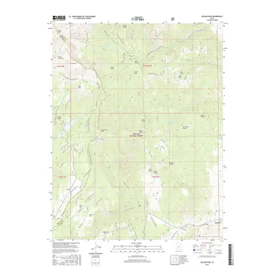
2017 Map of Delano Peak
USGS Topo · Published 2017About this map
Delano Peak towers over this section of the Tushar Mountains, serving as a high-altitude anchor for a landscape defined by sharp elevation changes and high-country basins. Located within the Fishlake National Forest, the region is marked by a complex network of backcountry routes, including the Skyline National Recreation Tr and the Rigger to Puffer Lake trail. The presence of Puffer Lake, Mirror Lake, and Otter Lake near the western boundary indicates a cluster of alpine water bodies, while the eastern slopes drain into the Tenmile Cr and City Cr systems. Near the southeastern corner, the settlement of Junction sits at the foot of the mountains where the drainage from Bellyache Canyon and Order Canyon reaches the valley floor. High-altitude meadows such as Jeans Pasture and Grindstone Flat suggest the area's historical importance for seasonal grazing and watershed management.
Find a feature on this map
63 named features on this map. Tap any name to fly to it.
Don’t see what you’re looking for? This feature index may not catch every label — zoom into the map to look around manually.
Map Details
Editions of this 2017 Delano Peak Map
This is the sole edition of this map. No revisions or reprints were ever made.
Other maps of this area

1885 · Beaver
USGS Topo · 1:250,000

1937 · Delano Peak
USGS Topo · 1:48,000

1943 · Delano Peak
USGS Topo · 1:62,500

1945 · Marysvale
USGS Topo · 1:62,500

1947 · Marysvale
USGS Topo · 1:62,500

1953 · Richfield
USGS Topo · 1:250,000

1958 · Richfield
USGS Topo · 1:250,000

1966 · Circleville
USGS Topo · 1:24,000
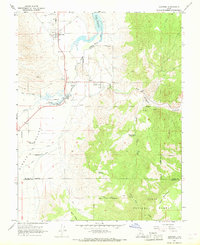
1966 · Junction
USGS Topo · 1:24,000
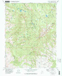
1971 · Circleville Mtn
USGS Topo · 1:24,000