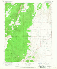
1966 Map of Circleville
USGS Topo · Published 1968About this map
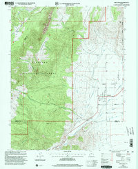
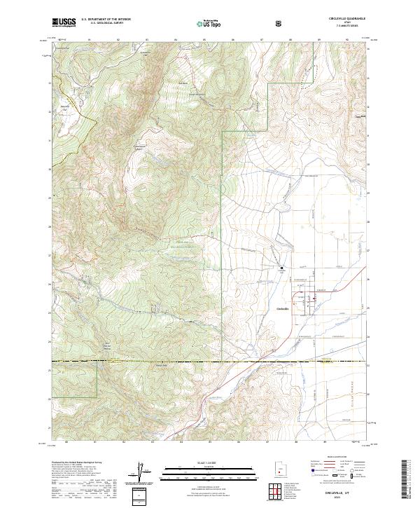
Circleville serves as the focal point of this mid-1960s survey, situated where the Sevier River flows through the fertile Circle Valley. This transition zone between the irrigated agricultural floor and the rising slopes of the Fishlake National Forest is defined by an intricate network of water management, including the West Canal, Lost Creek Canal, and a local Aqueduct. The geography reflects the necessities of Great Basin ranching and farming, with numerous family-named flats such as Betenson Flat, Gunsight Flat, and Grindstone Flat dotting the high country.
Find a feature on this map
37 named features on this map. Tap any name to fly to it.
Don’t see what you’re looking for? This feature index may not catch every label — zoom into the map to look around manually.
Map Details
Editions of this 1966 Circleville Map
This is the sole edition of this map. No revisions or reprints were ever made.
Historical Maps of Circleville Through Time
3 maps found