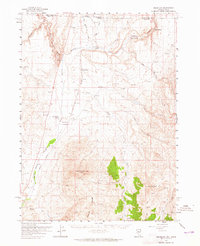
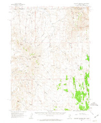
1957 Map of Delaplain
USGS Topo · Published 1965About this map
The high desert borderlands of Nevada and Idaho come into focus in the late 1950s, centered on the high-elevation ranching and transport corridors of northeastern Elko County. The Union Pacific railroad tracks and the early infrastructure of Jackpot define the northern edge of the sheet near the state line, while the San Jacinto Ranch and the community of San Jacinto mark a center of settlement further south. The landscape is dominated by the Granite Range and prominent summits like Middle Stack Mountain and Tijuana John Peak, with numerous drainages such as Salmon Falls Creek and Shoshone Creek carving through the terrain. Evidence of small-scale mountain industry appears in the form of several shafts near the high peaks, while Warm Springs and Deer Springs suggest the critical role of reliable water sources in this arid environment for both livestock and travelers.
Find a feature on this map
26 named features on this map. Tap any name to fly to it.
Don’t see what you’re looking for? This feature index may not catch every label — zoom into the map to look around manually.
Map Details
Editions of this 1957 Delaplain Map
2 editions found
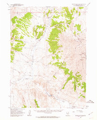
Other maps of this area

1955 · Twin Falls
USGS Topo · 1:250,000

1955 · Wells
USGS Topo · 1:250,000
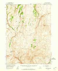
1957 · Contact
USGS Topo · 1:62,500
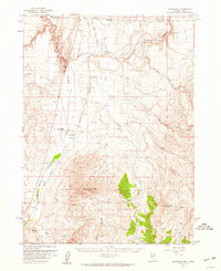
1957 · Delaplain
USGS Topo · 1:62,500

1958 · Wells
USGS Topo · 1:250,000

1958 · Twin Falls
USGS Topo · 1:250,000

1961 · Wells
USGS Topo · 1:250,000
1961 · Delano Mountains
USGS Topo · 1:62,500
1961 · Gollaher Mountain
USGS Topo · 1:62,500
1968 · Henry
USGS Topo · 1:24,000