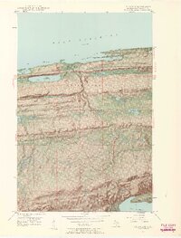
1948 Map of Delaware
USGS Topo · Published 1961About this map
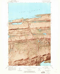
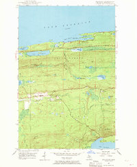
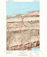
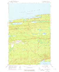
The northern tip of the Keweenaw Peninsula is captured in this 1948 field-checked survey, showing the dramatic topography between Lake Superior and Lac La Belle. This is a landscape defined by sharp ridges and deep valleys, where Brockway Mountain and Mt Lookout tower over the coastline. The famous Brockway Mountain Drive winds along the northern cliff edges, offering views over Agate Harbor and Lake Glazon.
Find a feature on this map
33 named features on this map. Tap any name to fly to it.
Don’t see what you’re looking for? This feature index may not catch every label — zoom into the map to look around manually.
Map Details
Editions of this 1948 Delaware Map
8 editions found
Other maps of this area

1927 · Point Isabelle
USGS Topo · 1:31,680

1938 · Bruneau Creek
USGS Topo · 1:31,680

1938 · Delaware
USGS Topo · 1:31,680

1939 · Deer Lake
USGS Topo · 1:31,680

1939 · Delaware
USGS Topo · 1:31,680

1940 · Deer Lake
USGS Topo · 1:31,680

1940 · Central
USGS Topo · 1:31,680

1940 · Lake Medora
USGS Topo · 1:31,680

1946 · Bruneau Creek
USGS Topo · 1:24,000

1946 · Eagle Harbor
USGS Topo · 1:24,000