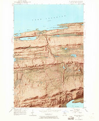
1948 Map of Delaware
USGS Topo · Published 1965About this map
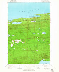
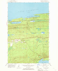
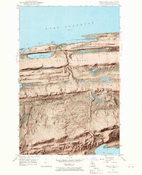
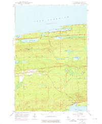
Delaware and Mandan sit amidst the high ridges and steep valleys of the Keweenaw Peninsula in this late-1940s survey. The landscape is defined by massive geological formations like Brockway Mountain and Gratiot Mountain, which rise sharply above the southern shore of Lake Superior. High-altitude lakes such as Gull Lake and Meadow Lake are scattered across the elevated plateaus between the peaks of Mt Lookout and Mt Bohemia. The drainage system is dominated by the Montreal River, which cuts through the township lines of Eagle Harbor and Grant. Along the coast, Shore Drive follows the jagged shoreline, passing Agate Harbor and North Bay. This map provides a detailed view of the terrain before later developments, showing the exact relationship between the early copper-country settlements and the formidable lake-effect geography of northern Michigan.
Find a feature on this map
34 named features on this map. Tap any name to fly to it.
Don’t see what you’re looking for? This feature index may not catch every label — zoom into the map to look around manually.
Map Details
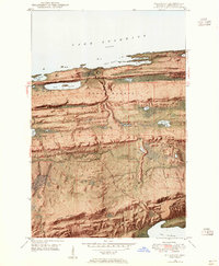
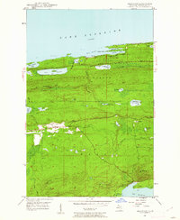
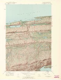
Editions of this 1948 Delaware Map
8 editions found
Other maps of this area

1927 · Point Isabelle
USGS Topo · 1:31,680

1938 · Bruneau Creek
USGS Topo · 1:31,680

1938 · Delaware
USGS Topo · 1:31,680

1939 · Deer Lake
USGS Topo · 1:31,680

1939 · Delaware
USGS Topo · 1:31,680

1940 · Deer Lake
USGS Topo · 1:31,680

1940 · Central
USGS Topo · 1:31,680

1940 · Lake Medora
USGS Topo · 1:31,680

1946 · Bruneau Creek
USGS Topo · 1:24,000

1946 · Eagle Harbor
USGS Topo · 1:24,000