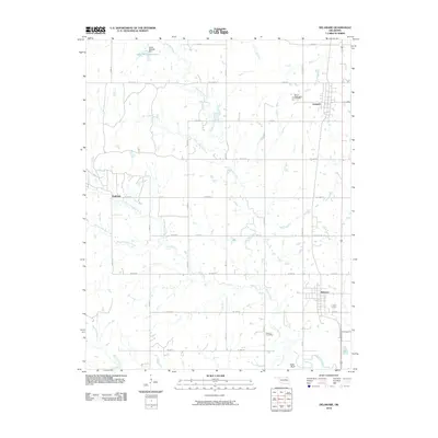
2010 Map of Delaware
USGS Topo · Published 2010About this map
Lenapah and Delaware serve as the primary population centers in this section of Nowata County, Oklahoma, at the start of the twenty-first century. The landscape is defined by a dense grid of rural roads and the meandering paths of several significant waterways, including California Creek and its tributary, Little California Creek. In the northwest corner, the Glenn Webster Dam creates the Glenn-Webster Reservoir, a notable water feature in an area otherwise dominated by small-scale agriculture and prairie terrain.
Find a feature on this map
33 named features on this map. Tap any name to fly to it.
Don’t see what you’re looking for? This feature index may not catch every label — zoom into the map to look around manually.
Map Details
Editions of this 2010 Delaware Map
This is the sole edition of this map. No revisions or reprints were ever made.
Other maps of this area

1901 · Nowata
USGS Topo · 1:125,000

1914 · Nowata
USGS Topo · 1:125,000

1954 · Tulsa
USGS Topo · 1:250,000

1958 · Tulsa
USGS Topo · 1:250,000

1963 · Tulsa
USGS Topo · 1:250,000

1972 · Blue Mound
USGS Topo · 1:24,000
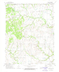
1972 · Elliott
USGS Topo · 1:24,000

1972 · Nowata West
USGS Topo · 1:24,000
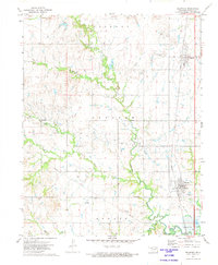
1972 · Delaware
USGS Topo · 1:24,000
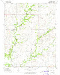
1972 · Oglesby
USGS Topo · 1:24,000