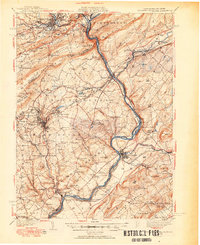
1942 Map of Delaware Water Gap
USGS Topo · Published 1951About this map
The Delaware River carves through the massive ridge of Kittatinny Mountain in this 1940s-era study, framing a landscape defined by industrial passage and rural settlement. The geography is anchored by the twin peaks of Mt Minsi and Mt Tammany, while a dense network of rural infrastructure populates the valleys of Monroe and Warren counties. The proliferation of small district schools, such as Quaker Plain Sch and Gravel Hill Sch, alongside landmarks like Oxford Furnace and the Centerville Stone Church PO, reveals a deeply settled agricultural and mining interior. Early twentieth-century transport is evident in the heavy presence of the Lackawanna and Western and the Lehigh and Hudson River railroads, which followed the river gaps to connect Pennsylvania coal and iron districts with New Jersey markets. Notable aviation history is marked by an Emergency Landing Field located near Belvidere.
Find a feature on this map
117 named features on this map. Tap any name to fly to it.
Don’t see what you’re looking for? This feature index may not catch every label — zoom into the map to look around manually.
Map Details
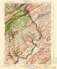
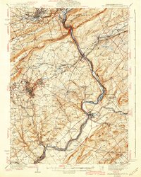
Editions of this 1942 Delaware Water Gap Map
3 editions found
Other maps of this area

1888 · Hackettstown
USGS Topo · 1:62,500

1890 · Easton
USGS Topo · 1:62,500

1890 · High Bridge
USGS Topo · 1:62,500

1891 · Easton
USGS Topo · 1:62,500

1891 · Wallpack
USGS Topo · 1:62,500

1891 · Delaware Water Gap
USGS Topo · 1:62,500

1893 · Delaware Water Gap
USGS Topo · 1:62,500

1893 · Wallpack
USGS Topo · 1:62,500

1894 · Hackettstown
USGS Topo · 1:62,500

1894 · Allentown
USGS Topo · 1:62,500