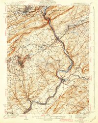
1942 Map of Delaware Water Gap
USGS Topo · Published 1942About this map
Kittatinny Mountain dominates this landscape, where the Delaware River carves a dramatic passage at the Delaware Water Gap. This 1942 edition reflects a region defined by complex transport networks, where the Pennsylvania RR and Lackawanna and Western RR converge near the river's edge. The settlement pattern shows industrial hubs like Oxford Furnace and the county seat at Belvidere, contrasted with rural uplands dotted by family-named schools and churches.
Find a feature on this map
146 named features on this map. Tap any name to fly to it.
Don’t see what you’re looking for? This feature index may not catch every label — zoom into the map to look around manually.
Map Details
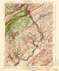
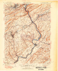
Editions of this 1942 Delaware Water Gap Map
3 editions found
Other maps of this area

1888 · Hackettstown
USGS Topo · 1:62,500

1890 · Easton
USGS Topo · 1:62,500

1890 · High Bridge
USGS Topo · 1:62,500

1891 · Easton
USGS Topo · 1:62,500

1891 · Wallpack
USGS Topo · 1:62,500

1891 · Delaware Water Gap
USGS Topo · 1:62,500

1893 · Delaware Water Gap
USGS Topo · 1:62,500

1893 · Wallpack
USGS Topo · 1:62,500

1894 · Hackettstown
USGS Topo · 1:62,500

1894 · Allentown
USGS Topo · 1:62,500