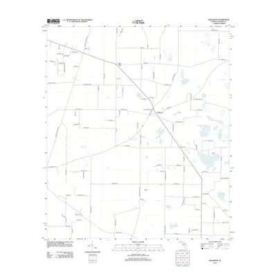
2012 Map of Dellwood
USGS Topo · Published 2012About this map
Two Egg and Dellwood anchor this part of Jackson County, Florida, illustrating a landscape defined by an unusual concentration of small water bodies and a network of rural roads. The area is characterized by numerous named ponds, such as Fivemile Pond, Beer Pond, and the curiously named Cow Pen Pond, which suggest a long history of local livestock management and seasonal drainage patterns. The road system, including Blue Springs Rd and Old School Ln, connects these small settlements to the surrounding agricultural land.
Find a feature on this map
100 named features on this map. Tap any name to fly to it.
Don’t see what you’re looking for? This feature index may not catch every label — zoom into the map to look around manually.
Map Details
Editions of this 2012 Dellwood Map
This is the sole edition of this map. No revisions or reprints were ever made.
Other maps of this area

1952 · Cypress
USGS Topo · 1:24,000

1952 · Oakdale
USGS Topo · 1:24,000

1952 · Dellwood
USGS Topo · 1:24,000

1952 · Malone
USGS Topo · 1:24,000

1952 · Bascom
USGS Topo · 1:24,000

1952 · Marianna
USGS Topo · 1:24,000

1954 · Steam Mill
USGS Topo · 1:24,000

1954 · Sneads
USGS Topo · 1:24,000

1954 · Tallahassee
USGS Topo · 1:250,000

1955 · Fairchild
USGS Topo · 1:24,000