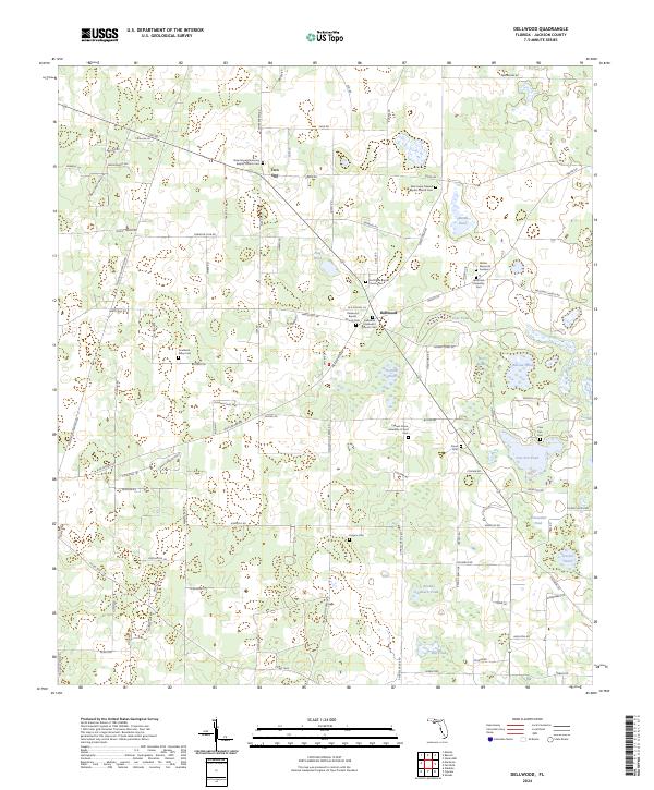
2024 Map of Dellwood
USGS Topo · Published 2024About this map
Two Egg and Dellwood anchor this survey of Jackson County, Florida, revealing a landscape defined by small-scale agriculture and an exceptionally high density of community burial grounds and churches. The map documents numerous spiritual and family landmarks, including the New Hope Missionary Baptist Church Cem and the Coulliette-Gilley Cem. A complex network of local roads such as Watermelon Aly and Paradise Club Rd connects these settlements to numerous small, isolated water bodies. These ponds, including Bateau Pond and Flag Pond, are scattered throughout the terrain, suggesting a karst topography common to the Florida Panhandle. The concentration of sites like the Dellwood Methodist Church Cem and Mathis Memorial Gardens provides a clear view of the area's genealogical footprint and the importance of established church centers in rural Florida life.
Find a feature on this map
112 named features on this map. Tap any name to fly to it.
Don’t see what you’re looking for? This feature index may not catch every label — zoom into the map to look around manually.
Map Details
Editions of this 2024 Dellwood Map
This is the sole edition of this map. No revisions or reprints were ever made.
Other maps of this area

1952 · Cypress
USGS Topo · 1:24,000

1952 · Oakdale
USGS Topo · 1:24,000

1952 · Dellwood
USGS Topo · 1:24,000

1952 · Malone
USGS Topo · 1:24,000

1952 · Bascom
USGS Topo · 1:24,000

1952 · Marianna
USGS Topo · 1:24,000

1954 · Steam Mill
USGS Topo · 1:24,000

1954 · Sneads
USGS Topo · 1:24,000

1954 · Tallahassee
USGS Topo · 1:250,000

1955 · Fairchild
USGS Topo · 1:24,000