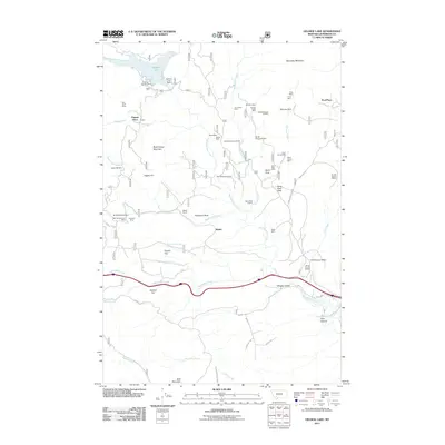
2011 Map of Delmoe Lake
USGS Topo · Published 2011About this map
Delmoe Lake sits at the northern edge of this high-country landscape in Jefferson County, secured by the Delmoe Lake Dam near the Delmoe Campground. The terrain is defined by a heavy concentration of mining history, with numerous workings scattered across the drainages of Big Pipestone Creek and Halfway Creek. From the Silver Queen Mine to the curiously named Suicide Cabin Mine and Finn Cabin Mine, the map reveals a landscape deeply carved by extraction. Small settlements and family-named landmarks like Pappas Place, Paul Place, and Welch indicate the sparse but persistent human presence in this region. The southern portion is marked by the clear corridor of Homestake Creek and the Big Pipestone Viaduct, illustrating how modern transportation infrastructure navigates the complex geography of the Continental Divide.
Find a feature on this map
57 named features on this map. Tap any name to fly to it.
Don’t see what you’re looking for? This feature index may not catch every label — zoom into the map to look around manually.
Map Details
Editions of this 2011 Delmoe Lake Map
This is the sole edition of this map. No revisions or reprints were ever made.
Other maps of this area

1889 · Helena
USGS Topo · 1:250,000

1893 · Helena
USGS Topo · 1:250,000

1893 · Dillon
USGS Topo · 1:250,000

1899 · Boulder
USGS Topo · 1:125,000

1899 · Helena
USGS Topo · 1:250,000

1903 · Helena
USGS Topo · 1:250,000

1947 · Butte
USGS Topo · 1:250,000

1954 · Elk Park
USGS Topo · 1:62,500

1954 · Boulder
USGS Topo · 1:62,500

1955 · Dillon
USGS Topo · 1:250,000